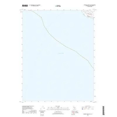
2018 Map of Stewarts Point OE W
USGS Topo · Published 2018About this map
Del Mar Point stands as the primary landform on this coastal survey, where the rugged Sonoma County shoreline meets the Pacific Ocean. Most of the map is defined by the open sea, with only the northeast corner capturing the immediate coastal interface. Within this small terrestrial pocket, a nascent residential or recreational road network is visible, featuring Leeward Rd and Deer Trl. This specific quadrangle captures the extreme edge of the California coast, providing a focused view of the township line t11n r15w as it terminates at the Pacific. It is an essential document for understanding the precise boundary between the terrestrial landscape and the marine environment in this specific section of Northern California.
Find a feature on this map
5 named features on this map. Tap any name to fly to it.
Don’t see what you’re looking for? This feature index may not catch every label — zoom into the map to look around manually.
Map Details
Editions of this 2018 Stewarts Point OE W Map
This is the sole edition of this map. No revisions or reprints were ever made.
Other maps of this area

1921 · Plantation
USGS Topo · 1:62,500

1943 · Point Arena
USGS Topo · 1:62,500

1943 · Stewarts Point
USGS Topo · 1:24,000

1943 · Ornbaun
USGS Topo · 1:62,500

1944 · Stewarts Point
USGS Topo · 1:31,680

1944 · Ornbaun
USGS Topo · 1:62,500

1947 · Santa Rosa
USGS Topo · 1:250,000

1949 · Santa Rosa
USGS Topo · 1:250,000

1958 · Santa Rosa
USGS Topo · 1:250,000

1960 · Saunders Reef
USGS Topo · 1:24,000