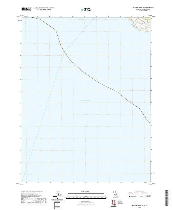
2021 Map of Stewarts Point OE W
USGS Topo · Published 2021About this map
The Pacific Ocean dominates this coastal survey, where the terrestrial landscape is limited to a narrow finger of Sonoma County shoreline. The built environment is concentrated in the northern corner of the sheet, defined by the residential planning of Sea Ranch. Local movement is traced along the Sea Ranch Bluff Trl, a coastal path that follows the contours above the water. Inland, a small network of roads including Leeward Rd, Tallgrass, and Deer Trl provides access to the coastal bluffs. The land terminates at Del Mar Point, a distinctive feature on this stretch of the California coast. This map illustrates the modern intersection of private development and public coastal access during the early twenty-first century.
Find a feature on this map
11 named features on this map. Tap any name to fly to it.
Don’t see what you’re looking for? This feature index may not catch every label — zoom into the map to look around manually.
Map Details
Editions of this 2021 Stewarts Point OE W Map
This is the sole edition of this map. No revisions or reprints were ever made.
Other maps of this area

1921 · Plantation
USGS Topo · 1:62,500

1943 · Point Arena
USGS Topo · 1:62,500

1943 · Stewarts Point
USGS Topo · 1:24,000

1943 · Ornbaun
USGS Topo · 1:62,500

1944 · Stewarts Point
USGS Topo · 1:31,680

1944 · Ornbaun
USGS Topo · 1:62,500

1947 · Santa Rosa
USGS Topo · 1:250,000

1949 · Santa Rosa
USGS Topo · 1:250,000

1958 · Santa Rosa
USGS Topo · 1:250,000

1960 · Saunders Reef
USGS Topo · 1:24,000