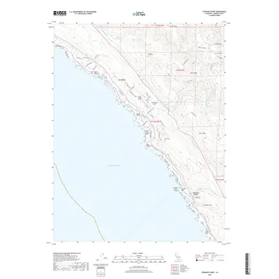
2018 Map of Stewarts Point
USGS Topo · Published 2018About this map
Sea Ranch and its distinct residential architecture define the northern portion of this coastal landscape, situated along the steep bluffs of the Pacific Ocean. The development is mapped in detail, showing a network of specialized roads like Albatross Reach and Galleons Reach, alongside The Sea Ranch Airport. To the south, the older settlement of Stewarts Point overlooks Fisherman Bay, marked by its local history through the Stewarts Point Cem and McClellon Gulch.
Find a feature on this map
56 named features on this map. Tap any name to fly to it.
Don’t see what you’re looking for? This feature index may not catch every label — zoom into the map to look around manually.
Map Details
Editions of this 2018 Stewarts Point Map
This is the sole edition of this map. No revisions or reprints were ever made.
Other maps of this area

1921 · Plantation
USGS Topo · 1:62,500

1943 · Point Arena
USGS Topo · 1:62,500

1943 · Stewarts Point
USGS Topo · 1:24,000

1943 · Plantation
USGS Topo · 1:24,000

1943 · Annapolis
USGS Topo · 1:24,000

1943 · Ornbaun
USGS Topo · 1:62,500

1944 · Annapolis
USGS Topo · 1:31,680
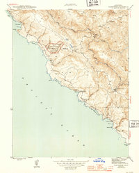
1944 · Plantation
USGS Topo · 1:31,680

1944 · Stewarts Point
USGS Topo · 1:31,680

1944 · Ornbaun
USGS Topo · 1:62,500