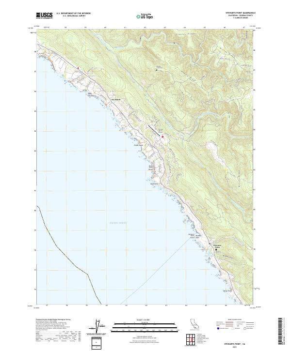
2021 Map of Stewarts Point
USGS Topo · Published 2021About this map
Sea Ranch occupies a prominent stretch of the Sonoma coastline, characterized by its distinctive planning and network of coastal trails such as the Sea Ranch Bluff Trl and Shell Beach Trl. The geography is defined by a series of high ridges running parallel to the shore, including Stanley Ridge, Beatty Ridge, and Miller Ridge, which overlook the complex drainage systems of the South Fork Gualala River and the Wheatfield Fork Gualala River.
Find a feature on this map
61 named features on this map. Tap any name to fly to it.
Don’t see what you’re looking for? This feature index may not catch every label — zoom into the map to look around manually.
Map Details
Editions of this 2021 Stewarts Point Map
This is the sole edition of this map. No revisions or reprints were ever made.
Other maps of this area

1921 · Plantation
USGS Topo · 1:62,500

1943 · Point Arena
USGS Topo · 1:62,500

1943 · Stewarts Point
USGS Topo · 1:24,000

1943 · Plantation
USGS Topo · 1:24,000

1943 · Annapolis
USGS Topo · 1:24,000

1943 · Ornbaun
USGS Topo · 1:62,500

1944 · Annapolis
USGS Topo · 1:31,680
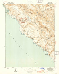
1944 · Plantation
USGS Topo · 1:31,680

1944 · Stewarts Point
USGS Topo · 1:31,680

1944 · Ornbaun
USGS Topo · 1:62,500