Loading...
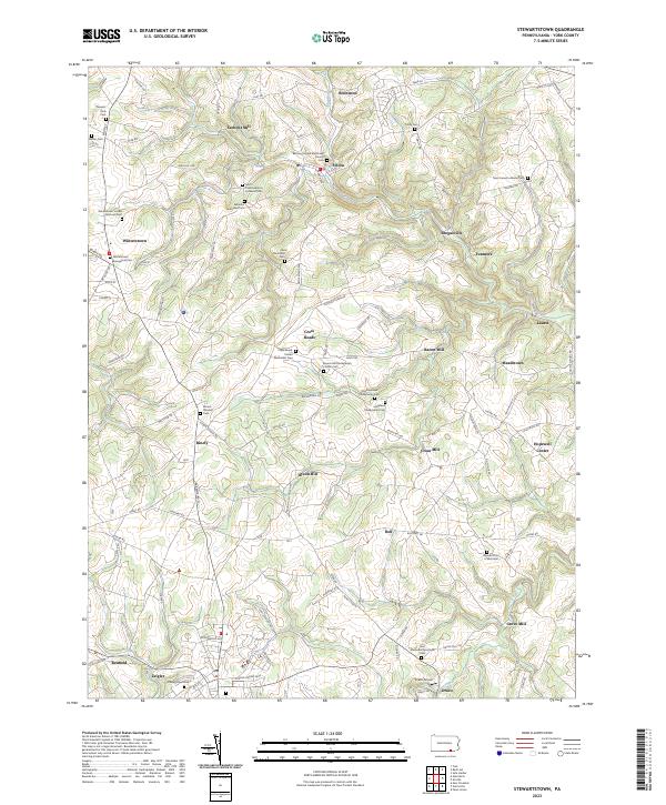
Loading map...2023 Map of Stewartstown
USGS Topo · Published 2023About this map
Sechrist Mill, Bacon Mill, and Grove Mill anchor a landscape defined by small-scale industry and rural hamlets in this modern York County survey. The terrain is a network of winding roads like Hyson School Rd and Cross Roads Ave, connecting established communities such as Winterstown and Felton. This area serves as a focal point for genealogical research, documenting numerous burial grounds including the Saint Pauls Lebanon Lutheran Cem and Winterstown United Brethren Cem.
Find a feature on this map
110 named features on this map. Tap any name to fly to it.
Don’t see what you’re looking for? This feature index may not catch every label — zoom into the map to look around manually.
Map Details
Date Portrayed2023
Date Published2023
PublisherU.S. Geological Survey
Map TypeTopographic
Scale1:24,000
Physical Dimensions24 x 29 inches
Editions of this 2023 Stewartstown Map
This is the sole edition of this map. No revisions or reprints were ever made.
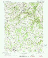
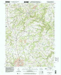
Historical Maps of Stewartstown Through Time
3 maps found
Featured Locations
Source Details
SourceU.S. Geological Survey
CopyrightPublic Domain