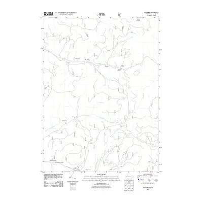
2011 Map of Stickney
USGS Topo · Published 2011About this map
Stickney sits at the heart of this landscape, positioned where the drainage of Willow Creek meets the northern reaches of the Allegheny plateau. The terrain is deeply inscribed by a dense network of hollows and runs, reflecting a long history of local land use and geographic naming. Many of these features, such as Shingle Mill Hollow and Schoolhouse Hollow, preserve the memory of early wood-processing industries and rural community centers that once dotted these valleys.
Find a feature on this map
35 named features on this map. Tap any name to fly to it.
Don’t see what you’re looking for? This feature index may not catch every label — zoom into the map to look around manually.
Map Details
Editions of this 2011 Stickney Map
This is the sole edition of this map. No revisions or reprints were ever made.
Other maps of this area

1900 · Salamanca
USGS Topo · 1:62,500

1922 · Randolph
USGS Topo · 1:62,500

1923 · Randolph
USGS Topo · 1:62,500

1924 · Bradford
USGS Topo · 1:62,500

1926 · Bradford
USGS Topo · 1:62,500

1936 · Kinzua
USGS Topo · 1:48,000

1938 · Salamanca
USGS Topo · 1:62,500

1941 · Kinzua
USGS Topo · 1:62,500

1941 · Bradford
USGS Topo · 1:62,500

1943 · Randolph
USGS Topo · 1:62,500