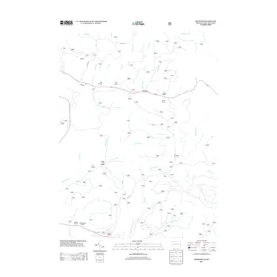
2013 Map of Stickney
USGS Topo · Published 2013About this map
Stickney serves as the central point of this topography, situated along a complex network of narrow drainages and deep hollows in the Pennsylvania highlands. The map reveals a landscape defined by its timber and industrial heritage, preserved in names like Shingle Mill Hollow and Railroad Run. The terrain is characterized by steep-sided valleys such as Cobb Hollow, Porter Hollow, and Slide Hollow, which channel numerous tributaries including Willow Cr and N Br Sugar Run. Evidence of early community infrastructure is found at Schoolhouse Hollow and the small settlement of Conover Hollow near the southern boundary. This 2013 survey provides a clear view of the modern road system, including Wolf Run Rd and Fire Rd, cutting through the dense network of runs and brooks that have shaped the local geography for generations.
Find a feature on this map
38 named features on this map. Tap any name to fly to it.
Don’t see what you’re looking for? This feature index may not catch every label — zoom into the map to look around manually.
Map Details
Editions of this 2013 Stickney Map
This is the sole edition of this map. No revisions or reprints were ever made.
Other maps of this area

1900 · Salamanca
USGS Topo · 1:62,500

1922 · Randolph
USGS Topo · 1:62,500

1923 · Randolph
USGS Topo · 1:62,500

1924 · Bradford
USGS Topo · 1:62,500

1926 · Bradford
USGS Topo · 1:62,500

1936 · Kinzua
USGS Topo · 1:48,000

1938 · Salamanca
USGS Topo · 1:62,500

1941 · Kinzua
USGS Topo · 1:62,500

1941 · Bradford
USGS Topo · 1:62,500

1943 · Randolph
USGS Topo · 1:62,500