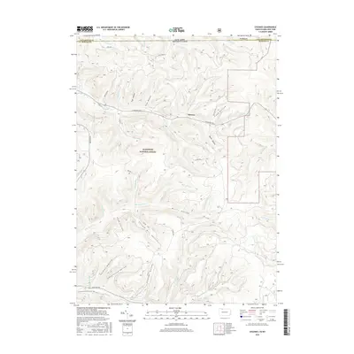
2016 Map of Stickney
USGS Topo · Published 2016About this map
The Allegheny National Forest dominates this section of McKean County, where a dense network of watercourses and hollows defines the landscape just south of the New York state line. The settlement of Stickney is situated along Willow Cr, serving as a central point in a region characterized by timber and resource extraction, as evidenced by names like Shingle Mill Hollow. High points such as Mt Mohawk overlook a complex drainage system including Wolf Run, Railroad Run, and Whitney Run. The mapping of these features, alongside numerous family-named landmarks like Conover Hollow and Bullis Hollow, provides a clear view of the area's geography in the mid-2010s. Modern recreational use is represented by the N Country National Scenic Trail which traverses the southern portion of the map, while historical land use patterns are preserved in names like Schoolhouse Hollow.
Find a feature on this map
45 named features on this map. Tap any name to fly to it.
Don’t see what you’re looking for? This feature index may not catch every label — zoom into the map to look around manually.
Map Details
Editions of this 2016 Stickney Map
This is the sole edition of this map. No revisions or reprints were ever made.
Other maps of this area

1900 · Salamanca
USGS Topo · 1:62,500

1922 · Randolph
USGS Topo · 1:62,500

1923 · Randolph
USGS Topo · 1:62,500

1924 · Bradford
USGS Topo · 1:62,500

1926 · Bradford
USGS Topo · 1:62,500

1936 · Kinzua
USGS Topo · 1:48,000

1938 · Salamanca
USGS Topo · 1:62,500

1941 · Kinzua
USGS Topo · 1:62,500

1941 · Bradford
USGS Topo · 1:62,500

1943 · Randolph
USGS Topo · 1:62,500