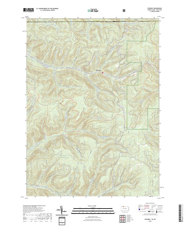
2023 Map of Stickney
USGS Topo · Published 2023About this map
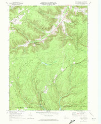
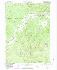
Stickney sits at the intersection of several deep drainage systems in the northern reaches of the Allegheny National Forest, just south of the border between New York and Pennsylvania. The landscape is defined by its hollows and runs, which likely speak to the area's early industrial history, such as Shingle Mill Hollow, Schoolhouse Hollow, and Railroad Run. These names suggest a legacy of timber harvesting and the small rural school systems that once supported these isolated logging communities.
Find a feature on this map
53 named features on this map. Tap any name to fly to it.
Don’t see what you’re looking for? This feature index may not catch every label — zoom into the map to look around manually.
Map Details
Editions of this 2023 Stickney Map
This is the sole edition of this map. No revisions or reprints were ever made.
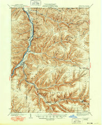
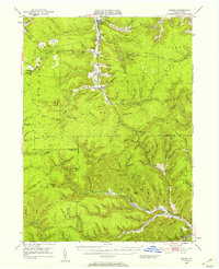
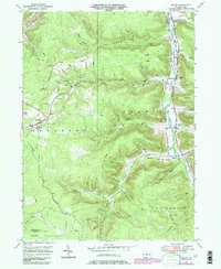
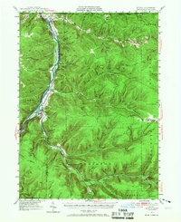
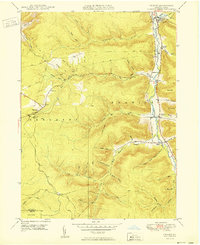
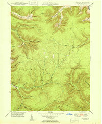
Historical Maps of Stickney Through Time
27 maps found

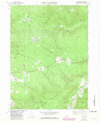
1936 Kinzua
McKean County, PA
1941 Kinzua
McKean County, PA
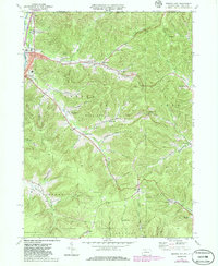
1948 Crosby
McKean County, PA
1948 Crosby
McKean County, PA
1948 Norwich
McKean County, PA
1949 Kinzua
McKean County, PA
1950 Crosby
McKean County, PA
1950 Norwich
McKean County, PA
1966 Cornplanter Bridge
McKean County, PA
1966 Ludlow
McKean County, PA
1966 Stickney
McKean County, PA
1966 Westline
McKean County, PA
1969 Cyclone
McKean County, PA
1969 Derrick City
McKean County, PA
1969 Hazel Hurst
McKean County, PA
1969 Mt. Jewett
McKean County, PA
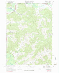
1970 Bullis Mills
McKean County, PA
2023 Bullis Mills
McKean County, PA
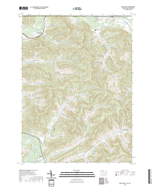
2023 Cornplanter Bridge
McKean County, PA
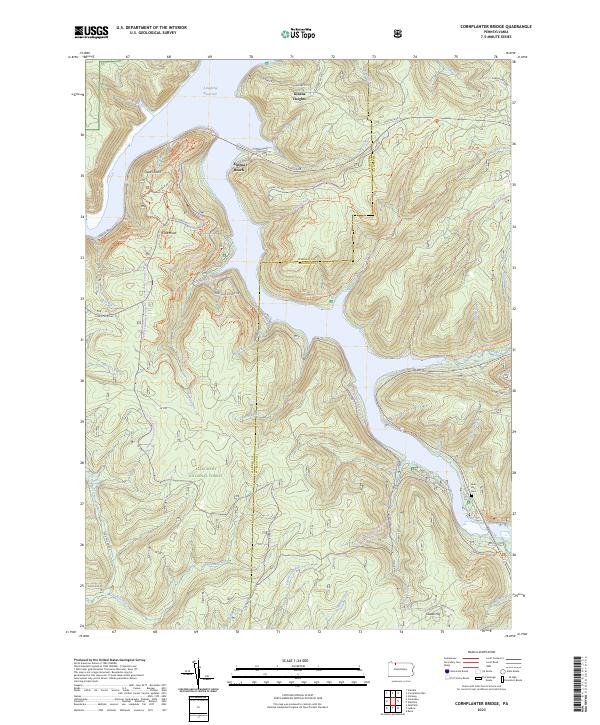
2023 Crosby
McKean County, PA
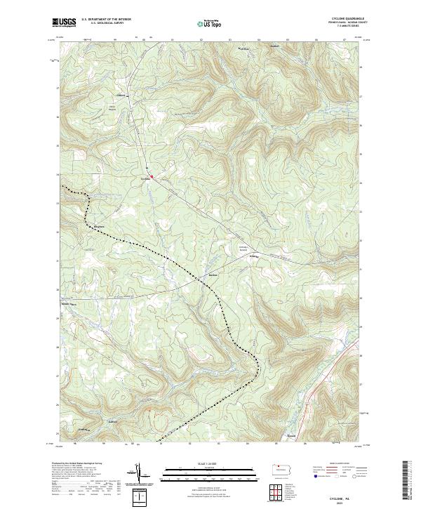
2023 Cyclone
McKean County, PA
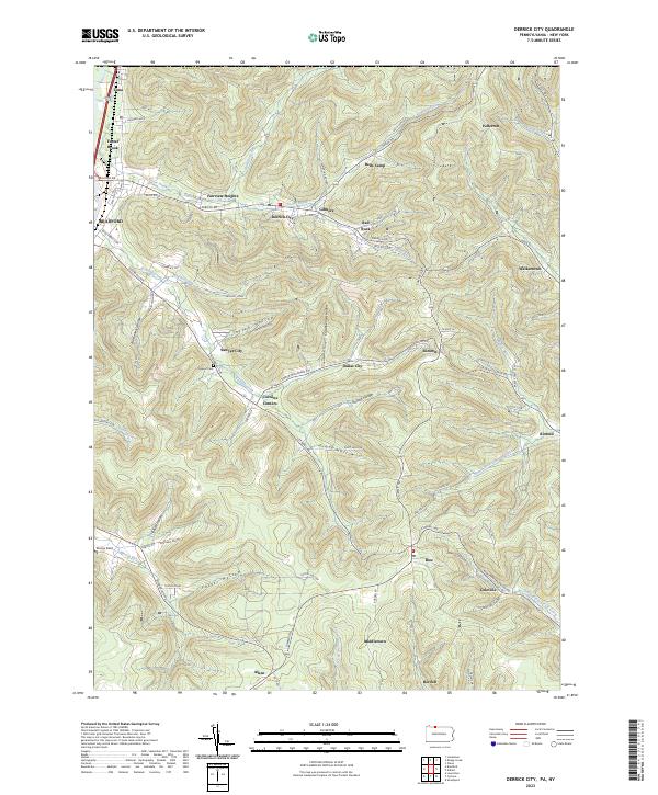
2023 Derrick City
McKean County, PA
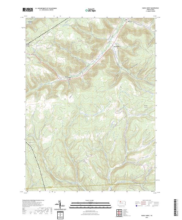
2023 Hazel Hurst
McKean County, PA
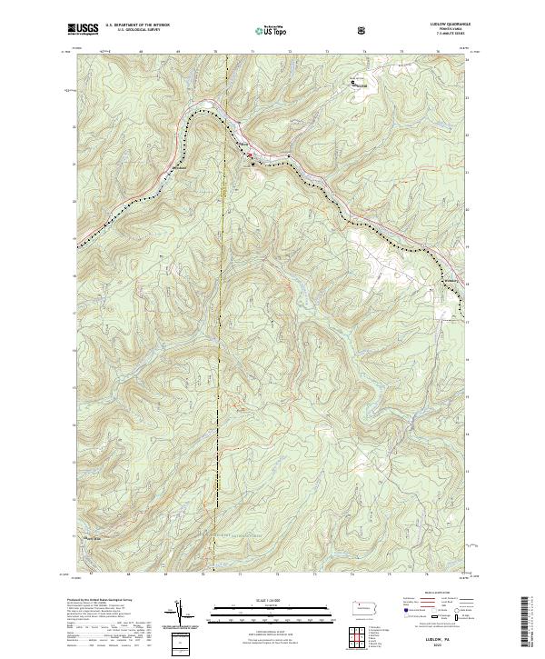
2023 Ludlow
McKean County, PA
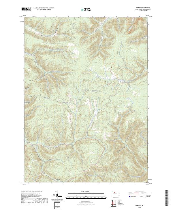
2023 Norwich
McKean County, PA
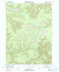
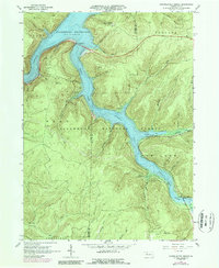
2023 Stickney
McKean County, PA
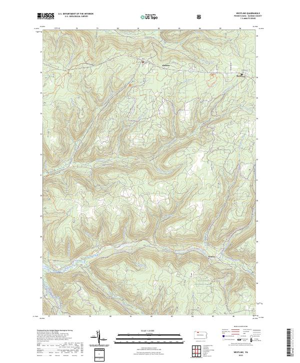
2023 Westline
McKean County, PA