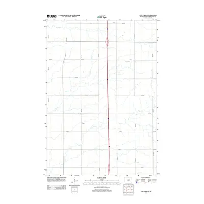
2012 Map of Still Lake SE
USGS Topo · Published 2012About this map
Saint Luke's Lutheran Cem and Saint John's Cem anchor the rural landscape of Codington County, reflecting the deep-rooted Lutheran heritage of this South Dakota township. The area is defined by a precise section-line road grid, where numbered avenues like 454th Ave and 460th Ave intersect with streets stretching from 156th St down to 164th St. A slow-moving drainage system of winding prairie streams, including Mud Cr, Mahoney Cr, and Soo Cr, meanders through the agricultural fields, dictating the placement of farmsteads and rural infrastructure. This 2012 survey captures the region just as modern interstate transit corridors were firmly established across the traditional rural landscape, providing a clear record of family-named sites such as Klix Cem for genealogical research.
Find a feature on this map
24 named features on this map. Tap any name to fly to it.
Don’t see what you’re looking for? This feature index may not catch every label — zoom into the map to look around manually.
Map Details
Editions of this 2012 Still Lake SE Map
This is the sole edition of this map. No revisions or reprints were ever made.
Other maps of this area

1953 · Milbank
USGS Topo · 1:250,000

1953 · Watertown
USGS Topo · 1:250,000

1958 · Milbank
USGS Topo · 1:250,000

1958 · Watertown
USGS Topo · 1:250,000

1969 · Watertown West
USGS Topo · 1:24,000

1969 · Watertown East
USGS Topo · 1:24,000

1970 · Kranzburg
USGS Topo · 1:24,000

1970 · Lonesome Lake
USGS Topo · 1:24,000

1970 · Still Lake SE
USGS Topo · 1:24,000

1970 · Still Lake NE
USGS Topo · 1:24,000
Featured Places
- Germantown Township, SD
- Enemy Swim District, SD
- Leola Township, SD
- Big Course District, SD
- Rauville Township, SD