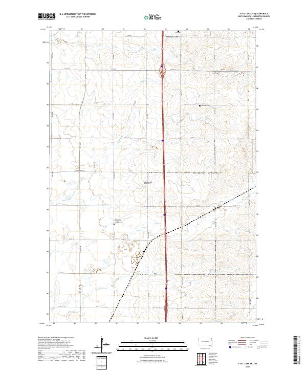
2021 Map of Still Lake SE
USGS Topo · Published 2021About this map
The Coteau des Prairies provides the defining topographic backdrop for this section of Codington County, characterized by the subtle drainage patterns of Mahoney Cr and Mud Cr. This survey captures the rural landscape of eastern South Dakota, where the geometric precision of the Public Land Survey System is reflected in the dense network of north-south avenues and east-west streets, such as 457th Ave and 160th St. Family and community heritage is preserved at sites like the Klix Cem and the Saint Lukes Lutheran Cem. The presence of the Saint John's Evangelical Lutheran Cem further underscores the importance of local religious and burial grounds in defining this agricultural region. The modern transportation corridor of U.S. Route 81 bisects the map, showing the evolution of transit alongside traditional county routes like Codington Co 43.
Find a feature on this map
37 named features on this map. Tap any name to fly to it.
Don’t see what you’re looking for? This feature index may not catch every label — zoom into the map to look around manually.
Map Details
Editions of this 2021 Still Lake SE Map
This is the sole edition of this map. No revisions or reprints were ever made.
Other maps of this area

1953 · Milbank
USGS Topo · 1:250,000

1953 · Watertown
USGS Topo · 1:250,000

1958 · Milbank
USGS Topo · 1:250,000

1958 · Watertown
USGS Topo · 1:250,000

1969 · Watertown West
USGS Topo · 1:24,000

1969 · Watertown East
USGS Topo · 1:24,000

1970 · Kranzburg
USGS Topo · 1:24,000

1970 · Lonesome Lake
USGS Topo · 1:24,000

1970 · Still Lake SE
USGS Topo · 1:24,000

1970 · Still Lake NE
USGS Topo · 1:24,000
Featured Places
- Leola Township, SD
- Germantown Township, SD
- Enemy Swim District, SD
- Rauville Township, SD
- Waverly Township, SD