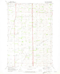
1970 Map of Still Lake SE
USGS Topo · Published 1973About this map
The Sisseton Indian Reservation Boundary defines the western edge of this agricultural landscape in Codington County during the early 1970s. The land is characterized by a sparse network of section-line roads and scattered farmsteads across the townships of Germantown, Rauville, and Leola. Social and community life centers on landmarks such as St Johns Ch, St Lukes Ch, and a local Townhall, while the presence of numerous Gravel Pits indicates the local extraction industry of the era.
Find a feature on this map
14 named features on this map. Tap any name to fly to it.
Don’t see what you’re looking for? This feature index may not catch every label — zoom into the map to look around manually.
Map Details
Editions of this 1970 Still Lake SE Map
This is the sole edition of this map. No revisions or reprints were ever made.
Other maps of this area
1953 · Milbank
USGS Topo · 1:250,000

1953 · Watertown
USGS Topo · 1:250,000
1958 · Milbank
USGS Topo · 1:250,000
1958 · Watertown
USGS Topo · 1:250,000
1969 · Watertown West
USGS Topo · 1:24,000
1969 · Watertown East
USGS Topo · 1:24,000
1970 · Kranzburg
USGS Topo · 1:24,000
1970 · Lonesome Lake
USGS Topo · 1:24,000
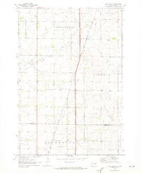
1970 · Still Lake NE
USGS Topo · 1:24,000
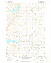
1970 · Still Lake
USGS Topo · 1:24,000
Featured Places
- Enemy Swim District, SD
- Germantown Township, SD
- Big Course District, SD
- Leola Township, SD
- Rauville Township, SD