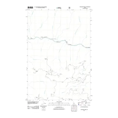
2011 Map of Stillman Point
USGS Topo · Published 2011About this map
The Selway River cuts a winding path through this corner of Idaho County, serving as the central artery for a landscape defined by its high ridges and numerous tributaries. This 2011 survey illustrates a quiet wilderness infrastructure focused on the river, where seasonal camps like Rackliff Campground and Twentymile Bar Campground line the north bank alongside Selway Rd. The terrain is marked by prominent peaks such as Stillman Point and O'Hara Point, while drainage systems like Island Creek and Falls Creek feed into the Selway from the south.
Find a feature on this map
31 named features on this map. Tap any name to fly to it.
Don’t see what you’re looking for? This feature index may not catch every label — zoom into the map to look around manually.
Map Details
Editions of this 2011 Stillman Point Map
This is the sole edition of this map. No revisions or reprints were ever made.
Other maps of this area

1911 · Lolo
USGS Topo · 1:250,000

1913 · Lolo
USGS Topo · 1:250,000

1924 · Weippe
USGS Topo · 1:125,000

1931 · Buffalo Hump
USGS Topo · 1:125,000

1934 · Buffalo Hump
USGS Topo · 1:125,000

1956 · Elk City
USGS Topo · 1:250,000

1956 · Hamilton
USGS Topo · 1:250,000

1959 · Hamilton
USGS Topo · 1:250,000

1960 · Elk City
USGS Topo · 1:250,000

1960 · Hamilton
USGS Topo · 1:250,000