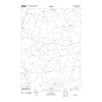
2010 Map of Stillwater
USGS Topo · Published 2010About this map
Stillwater and the surrounding Columbia and Luzerne County landscape are defined by a network of creeks and prominent ridges in this 2010 survey. The settlement pattern follows the drainages of Fishing Creek and Huntington Creek, with numerous small communities such as New Columbus, Cambra, and Bendertown connected by winding roads and the Old Tioga Tpke. The map provides significant genealogical value through its many family-named cemeteries and landmarks, including Boston Cemetery, Dodson Cemetery, and Belles Cemetery.
Find a feature on this map
163 named features on this map. Tap any name to fly to it.
Don’t see what you’re looking for? This feature index may not catch every label — zoom into the map to look around manually.
Map Details
Editions of this 2010 Stillwater Map
This is the sole edition of this map. No revisions or reprints were ever made.
Other maps of this area

1891 · Harveys Lake
USGS Topo · 1:62,500

1893 · Harvey Lake
USGS Topo · 1:62,500

1894 · Shickshinny
USGS Topo · 1:62,500

1894 · Bloomsburg
USGS Topo · 1:62,500

1934 · Laporte
USGS Topo · 1:62,500

1946 · Shickshinny
USGS Topo · 1:31,680

1946 · Berwick
USGS Topo · 1:31,680

1946 · Sweet Valley
USGS Topo · 1:24,000

1947 · Bloomsburg
USGS Topo · 1:24,000

1947 · Stillwater
USGS Topo · 1:24,000
Featured Places
- New Columbus, PA
- Stillwater, PA
- Honeytown, Fishing Creek Township
- Register, Huntington Township
- Asbury, Fishing Creek Township