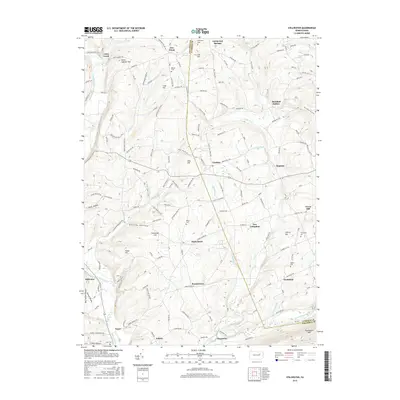
2016 Map of Stillwater
USGS Topo · Published 2016About this map
New Columbus and Stillwater anchor this rural landscape along the boundary of Columbia and Luzerne counties. The terrain is defined by a series of named ridges and drainage basins, including Creveling Hill and the deep Karnes Hollow. To the south, Huntington Creek flows past Jonestown, while the northern reaches are marked by Saint Gabriel Hill and the settlement of Coles Creek. Local family history is preserved through numerous burial sites like Boston Cem, Dodson Cem, and Thompson Cem, which are scattered throughout the agricultural uplands. The road network connects a series of small, dispersed communities such as Bendertown, Asbury, and Fairmount Springs. The map reveals a high concentration of named swamps and springs, including Grisco Swamp and Wenner Swamp, illustrating the complex hydrology that feeds into the Fishing Creek and Pine Creek systems during the mid-2010s.
Find a feature on this map
144 named features on this map. Tap any name to fly to it.
Don’t see what you’re looking for? This feature index may not catch every label — zoom into the map to look around manually.
Map Details
Editions of this 2016 Stillwater Map
This is the sole edition of this map. No revisions or reprints were ever made.
Other maps of this area

1891 · Harveys Lake
USGS Topo · 1:62,500

1893 · Harvey Lake
USGS Topo · 1:62,500

1894 · Shickshinny
USGS Topo · 1:62,500

1894 · Bloomsburg
USGS Topo · 1:62,500

1934 · Laporte
USGS Topo · 1:62,500

1946 · Shickshinny
USGS Topo · 1:31,680

1946 · Berwick
USGS Topo · 1:31,680

1946 · Sweet Valley
USGS Topo · 1:24,000

1947 · Bloomsburg
USGS Topo · 1:24,000

1947 · Stillwater
USGS Topo · 1:24,000
Featured Places
- New Columbus, PA
- Stillwater, PA
- Honeytown, Fishing Creek Township
- Register, Huntington Township
- Asbury, Fishing Creek Township