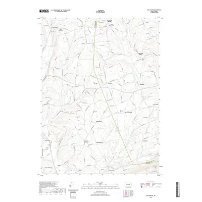
2019 Map of Stillwater
USGS Topo · Published 2019About this map
New Columbus and the surrounding townships of Columbia and Luzerne counties are defined by a network of small upland settlements and deep-cut hollows. This area is heavily marked by its spiritual and genealogical footprint, featuring numerous burial sites such as Saint Marthas Old Cem and the Saint James United Church of Christ Cem. The landscape transitions from the agricultural plateaus around Fairmount Springs and Five Points toward the dramatic southern boundary of Huntington Mtn.
Find a feature on this map
140 named features on this map. Tap any name to fly to it.
Don’t see what you’re looking for? This feature index may not catch every label — zoom into the map to look around manually.
Map Details
Editions of this 2019 Stillwater Map
This is the sole edition of this map. No revisions or reprints were ever made.
Other maps of this area

1891 · Harveys Lake
USGS Topo · 1:62,500

1893 · Harvey Lake
USGS Topo · 1:62,500

1894 · Shickshinny
USGS Topo · 1:62,500

1894 · Bloomsburg
USGS Topo · 1:62,500

1934 · Laporte
USGS Topo · 1:62,500

1946 · Shickshinny
USGS Topo · 1:31,680

1946 · Berwick
USGS Topo · 1:31,680

1946 · Sweet Valley
USGS Topo · 1:24,000

1947 · Bloomsburg
USGS Topo · 1:24,000

1947 · Stillwater
USGS Topo · 1:24,000
Featured Places
- New Columbus, PA
- Stillwater, PA
- Honeytown, Fishing Creek Township
- Register, Huntington Township
- Asbury, Fishing Creek Township