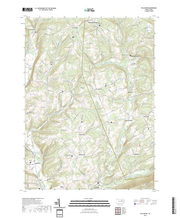
2023 Map of Stillwater
USGS Topo · Published 2023About this map
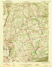
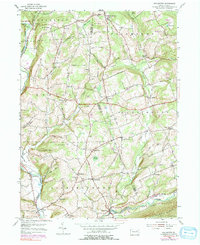
Fishing Creek and its many tributaries, including Coles Creek and Raven Creek, carve a landscape of sharp ridges and narrow hollows across the border of Columbia and Luzerne Counties. This 2023 survey illustrates a rural settlement pattern defined by small, dispersed communities like Stillwater, Bendertown, and New Columbus. The presence of numerous family and community burial grounds, such as Saint Martha's Cem and Dodson Cem, suggests a deeply rooted local history tied to the land.
Find a feature on this map
120 named features on this map. Tap any name to fly to it.
Don’t see what you’re looking for? This feature index may not catch every label — zoom into the map to look around manually.
Map Details
Editions of this 2023 Stillwater Map
This is the sole edition of this map. No revisions or reprints were ever made.
Historical Maps of Cambra Through Time
3 maps found