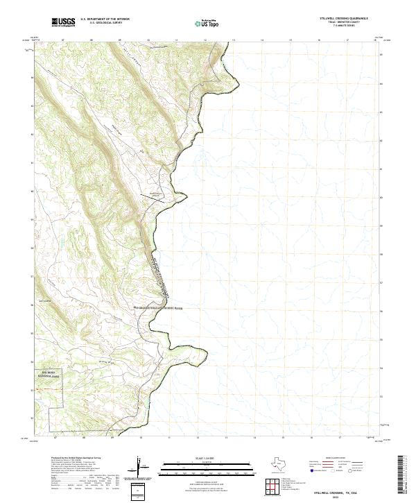
2022 Map of Stillwell Crossing
USGS Topo · Published 2022About this map
The Rio Grande Wild and Scenic River forms the international boundary with Mexico in this remote stretch of Brewster County, where the Chihuahuan Desert landscape meets the water. The southwestern portion of the map is dominated by the northern reaches of Big Bend National Park, characterized by complex terrain like Sierra Larga and the drainage of Brushy Draw. Human infrastructure is sparse, centered primarily on transportation and aviation at the Heath Canyon Airport and the terminus of Ranch Rd 2627. Deeply etched drainages such as Heath Canyon, Horse Canyon, and Driftwood Canyon illustrate the erosive power of seasonal water flowing toward the Rio Grande. This survey provides a contemporary record of the land use where private ranching interests and federal conservation lands converge along the border.
Find a feature on this map
13 named features on this map. Tap any name to fly to it.
Don’t see what you’re looking for? This feature index may not catch every label — zoom into the map to look around manually.
Map Details
Editions of this 2022 Stillwell Crossing Map
This is the sole edition of this map. No revisions or reprints were ever made.
Other maps of this area

1918 · Reagan Canyon
USGS Topo · 1:62,500

1919 · Maravillas Canyon
USGS Topo · 1:62,500

1930 · Stillwell Creek
USGS Topo · 1:62,500

1959 · Emory Peak
USGS Topo · 1:250,000

1965 · Emory Peak
USGS Topo · 1:250,000
1971 · Ernst Valley
USGS Topo · 1:24,000
1971 · Sue Peaks
USGS Topo · 1:24,000
1971 · Stillwell Crossing
USGS Topo · 1:24,000
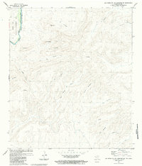
1983 · Las Vegas De Los Ladrones SW
USGS Topo · 1:24,000
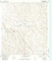
1983 · Black Gap
USGS Topo · 1:24,000