
1967 Map of Stipek
USGS Topo · Published 1970About this map
The Yellowstone River cuts a wide, braided path through this Dawson County landscape, where the northern edge of Glendive meets the rural agricultural flats and rugged breaks of eastern Montana. The Northern Pacific railroad parallels the river's west bank, serving as the primary transit corridor for the small settlement of Stipek. This 1960s survey captures the mid-century infrastructure of the region, from the Lewis and Clark Trail Pipeline to the local Deer Creek Sch, a remnant of the dispersed rural school system. High points like Custers Lookout offer vantage points over a network of seasonal drainages including Sevenmile Creek and Threemile Creek. On the southern outskirts, the civic and industrial footprint of the county seat is evident through the County Fairground, Airport, and the complex irrigation works of the Main Canal.
Find a feature on this map
26 named features on this map. Tap any name to fly to it.
Don’t see what you’re looking for? This feature index may not catch every label — zoom into the map to look around manually.
Map Details
Editions of this 1967 Stipek Map
This is the sole edition of this map. No revisions or reprints were ever made.
Other maps of this area

1909 · Glendive
USGS Topo · 1:250,000

1954 · Glendive
USGS Topo · 1:250,000

1957 · Glendive
USGS Topo · 1:250,000

1958 · Glendive
USGS Topo · 1:250,000

1966 · Kolberg Ranch
USGS Topo · 1:24,000

1966 · Intake
USGS Topo · 1:24,000

1967 · Allard
USGS Topo · 1:24,000

1967 · Belle Prairie
USGS Topo · 1:24,000
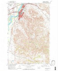
1967 · Glendive
USGS Topo · 1:24,000
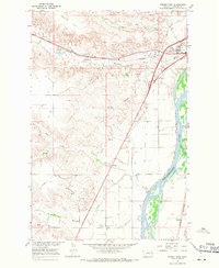
1967 · Forest Park
USGS Topo · 1:24,000