
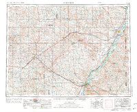
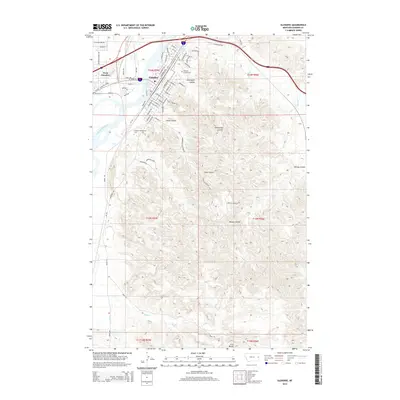
1957 Map of Glendive
USGS Topo · Published 1957About this map
The Yellowstone River and Missouri River anchor the eastern Montana landscape, their valleys serving as the primary corridors for settlement and transport during this mid-century period. The Northern Pacific and Great Northern railroads define the development patterns here, supporting towns like Glendive and Sidney while reaching into the surrounding plains via numerous sidings such as Newton Junction and Allard Siding. The high density of rural schoolhouses, including Breezy Flat School and Kimmel School, suggests a distributed agricultural population still reliant on localized community centers before the widespread consolidation of the late 20th century.
Find a feature on this map
104 named features on this map. Tap any name to fly to it.
Don’t see what you’re looking for? This feature index may not catch every label — zoom into the map to look around manually.
Map Details
Editions of this 1957 Glendive Map
This is the sole edition of this map. No revisions or reprints were ever made.
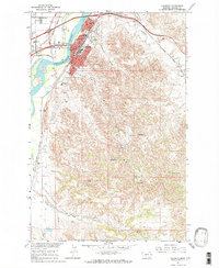
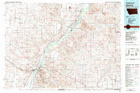
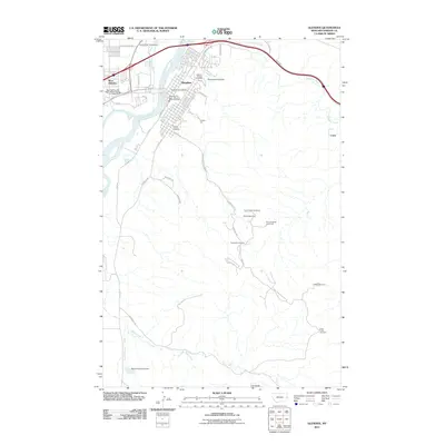
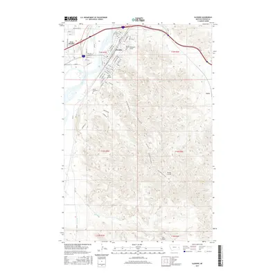
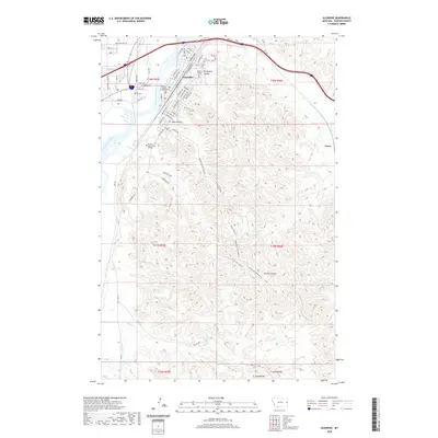
Historical Maps of Sidney Through Time
11 maps found

1909 Glendive
Dawson County, MT
1954 Glendive
Dawson County, MT
1957 Glendive
Dawson County, MT

1958 Glendive
Dawson County, MT
1967 Glendive
Dawson County, MT
1981 Glendive
Dawson County, MT
2011 Glendive
Dawson County, MT
2014 Glendive
Dawson County, MT
2017 Glendive
Dawson County, MT
2020 Glendive
Dawson County, MT
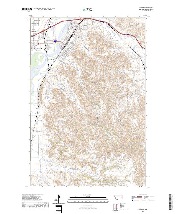
2024 Glendive
Dawson County, MT