
1914 Map of Brockton
USGS Topo · Published 1914About this map
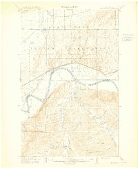
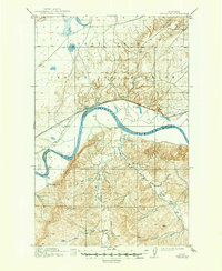
Fort Peck Indian Reservation dominates the northern half of this landscape, where the Great Northern R R skirts the northern banks of the Missouri River. The settlement of Brockton sits along the rail line, serving as a focal point for the ranching and agricultural efforts of the early twentieth century. South of the river, the terrain rises sharply toward Moonstone Bluff, giving way to a dense network of coulees and breaks.
Find a feature on this map
22 named features on this map. Tap any name to fly to it.
Don’t see what you’re looking for? This feature index may not catch every label — zoom into the map to look around manually.
Map Details
Editions of this 1914 Brockton Map
3 editions found
Other maps of this area

1909 · Glendive
USGS Topo · 1:250,000

1909 · Smoke Creek
USGS Topo · 1:62,500

1912 · Hay Creek
USGS Topo · 1:62,500

1912 · Poplar
USGS Topo · 1:62,500

1912 · Smoke Creek
USGS Topo · 1:62,500

1914 · Homestead
USGS Topo · 1:62,500

1947 · Rocky Point
USGS Topo · 1:24,000

1948 · Rocky Point
USGS Topo · 1:24,000

1948 · Fort Kipp
USGS Topo · 1:24,000

1949 · Fort Kipp
USGS Topo · 1:24,000
Featured Places
- Brockton, Brockton District
- Brockton District, MT
- Fort Kipp District, MT
- Calais, Fort Kipp District
- Richland County, MT