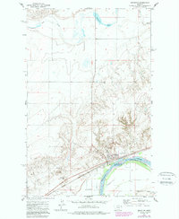
1972 Map of Brockton
USGS Topo · Published 1989About this map
Brockton sits along the northern banks of the Missouri River on the Fort Peck Indian Reservation Boundary, serving as a focal point for this landscape in the early 1970s. The town's infrastructure, including the Burlington Northern railroad and storage facilities, points to its role in the regional agricultural economy. Local social and civic life is anchored by features such as the Rodeo Ground, Athletic Field, and the Ruffatto Sch, while the Riverview Cem overlooks the river valley from a nearby rise.
Find a feature on this map
15 named features on this map. Tap any name to fly to it.
Don’t see what you’re looking for? This feature index may not catch every label — zoom into the map to look around manually.
Map Details
Editions of this 1972 Brockton Map
2 editions found
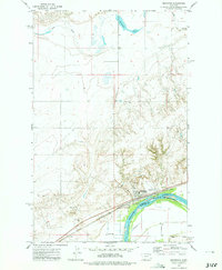
Other maps of this area

1909 · Smoke Creek
USGS Topo · 1:62,500

1912 · Hay Creek
USGS Topo · 1:62,500

1912 · Poplar
USGS Topo · 1:62,500

1912 · Smoke Creek
USGS Topo · 1:62,500

1914 · Brockton
USGS Topo · 1:62,500

1950 · Coyote Coulee
USGS Topo · 1:24,000

1950 · Calais
USGS Topo · 1:24,000

1954 · Wolf Point
USGS Topo · 1:250,000

1958 · Wolf Point
USGS Topo · 1:250,000

1972 · Poplar NE
USGS Topo · 1:24,000
Featured Places
- Brockton, Brockton District
- Brockton District, MT
- Richland County, MT
- Roosevelt County, MT
- United States