
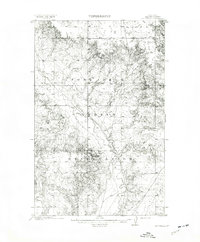
1912 Map of Smoke Creek
USGS Topo · Published 1912About this map
The Fort Peck Indian Reservation dominates this 1909 survey of northeastern Montana, revealing a landscape of rolling coulees and intermittent watercourses before significant modern development. The drainage of Smoke Creek and the meandering path of Spring Creek define the eastern terrain, while the solitary Wests Ranch stands as the only named settlement or commercial landmark in the northern portion of the quadrangle. This era reflects the early administration of the reservation lands following the turn of the century, documented here by the General Land Office. In the southeast corner, the seasonal waters of Manning Lake and a smaller labeled Lake indicate the variable hydrology of the high plains. The map provides a precise look at the township and range grid system as it was physically established on the ground during the Taft administration.
Find a feature on this map
8 named features on this map. Tap any name to fly to it.
Don’t see what you’re looking for? This feature index may not catch every label — zoom into the map to look around manually.
Map Details
Editions of this 1912 Smoke Creek Map
This is the sole edition of this map. No revisions or reprints were ever made.
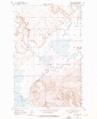
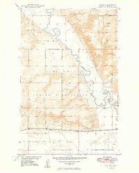
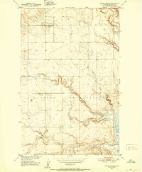
Other maps of this area

1909 · Smoke Creek
USGS Topo · 1:62,500
1912 · Hay Creek
USGS Topo · 1:62,500

1912 · Poplar
USGS Topo · 1:62,500

1914 · Brockton
USGS Topo · 1:62,500

1914 · Homestead
USGS Topo · 1:62,500
1947 · Rocky Point
USGS Topo · 1:24,000

1948 · Rocky Point
USGS Topo · 1:24,000

1948 · Fort Kipp
USGS Topo · 1:24,000
1949 · Fort Kipp
USGS Topo · 1:24,000
1950 · Coyote Coulee
USGS Topo · 1:24,000
Featured Places
- Brockton District, MT
- Fort Kipp District, MT
- Anderson, Brockton District
- Biem, Brockton District
- Roosevelt County, MT