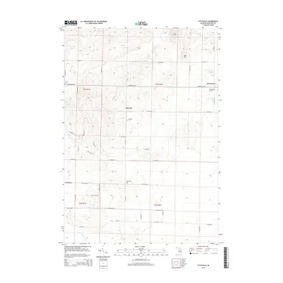
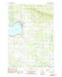
2014 Map of Stittsville
USGS Topo · Published 2014About this map
Stittsville and Moorestown anchor this Missaukee County landscape, where rural townships are defined by a grid of local roads and quiet water bodies. The terrain transitions from the higher elevations of Baldy and Allen Hill in the north toward the meandering W Br Muskegon River in the southwest. For those tracing local heritage, the map identifies several resting places, including the Stittsville Cem and West Branch Cem, along with the Pioneer Cem near the western boundary.
Find a feature on this map
45 named features on this map. Tap any name to fly to it.
Don’t see what you’re looking for? This feature index may not catch every label — zoom into the map to look around manually.
Map Details
Editions of this 2014 Stittsville Map
This is the sole edition of this map. No revisions or reprints were ever made.
Other maps of this area
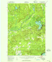
1949 · Fletcher
USGS Topo · 1:62,500
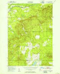
1950 · Fletcher
USGS Topo · 1:24,000

1954 · Traverse City
USGS Topo · 1:250,000
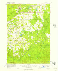
1956 · Kalkaska
USGS Topo · 1:62,500
1956 · Houghton Lake
USGS Topo · 1:62,500
1956 · Lake City
USGS Topo · 1:62,500

1958 · Traverse City
USGS Topo · 1:250,000
1983 · Cadillac
USGS Topo · 1:100,000
1983 · Stittsville
USGS Topo · 1:24,000
1983 · Lake City
USGS Topo · 1:25,000