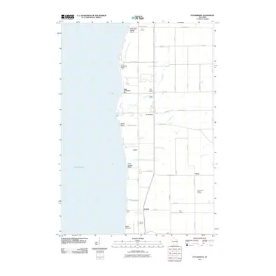
2010 Map of Stockbridge
USGS Topo · Published 2010About this map
The eastern shore of Lake Winnebago defines the character of this 2010 survey, where a series of shoreline settlements and beaches contrast with the agricultural landscape of Calumet County. The village of Stockbridge serves as a central hub, surrounded by a dense concentration of historical sites including the Indian Cemetery and Saint Marys Cemetery. This area reflects a long history of settlement and community, further evidenced by numerous family and church burial grounds like Pingel Cemetery and the Saint Elizabeth Catholic Cemetery near Kloten.
Find a feature on this map
49 named features on this map. Tap any name to fly to it.
Don’t see what you’re looking for? This feature index may not catch every label — zoom into the map to look around manually.
Map Details
Editions of this 2010 Stockbridge Map
This is the sole edition of this map. No revisions or reprints were ever made.
Other maps of this area

1910 · Fond du Lac
USGS Topo · 1:62,500

1911 · Neenah
USGS Topo · 1:62,500

1954 · Chilton
USGS Topo · 1:62,500

1954 · Kiel
USGS Topo · 1:62,500

1955 · Neenah
USGS Topo · 1:62,500

1955 · Neenah
USGS Topo · 1:24,000

1955 · Fond Du Lac
USGS Topo · 1:62,500

1955 · Green Bay
USGS Topo · 1:250,000

1957 · Madison
USGS Topo · 1:250,000

1960 · Madison
USGS Topo · 1:250,000