Loading...
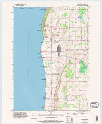
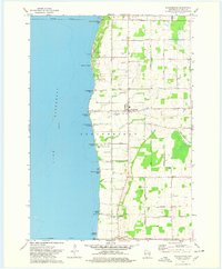
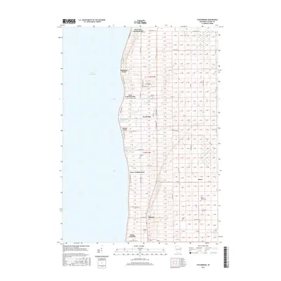
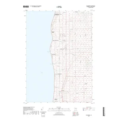
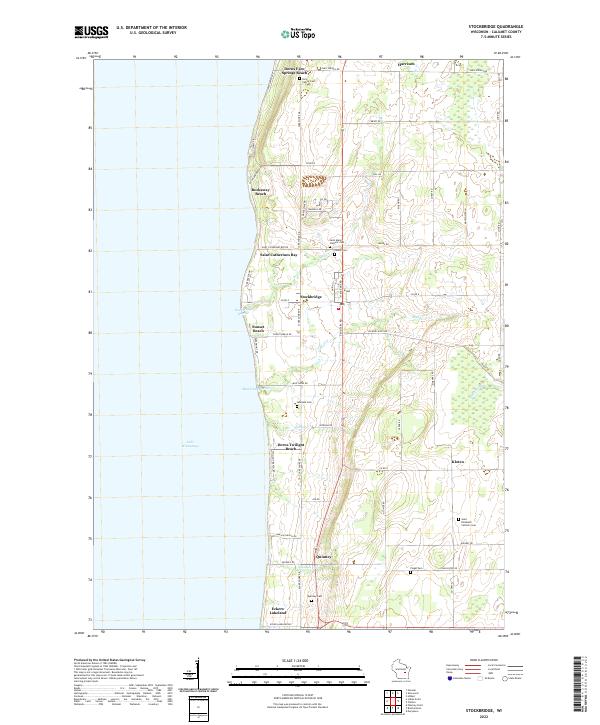
Loading map...1992 Map of Stockbridge
USGS Topo · Published 1996About this map
The eastern shore of Lake Winnebago defines this landscape, where the village of Stockbridge sits at the junction of several rural roads. The 1990s terrain is characterized by a series of ledges and creeks, including Mill Creek and Roberts Creek, which flow westward into the lake. Along the shoreline, recreational and residential pockets such as Dorns Faro Springs Beach and Sunset Beach are interspersed with facilities like Stockbridge Harbor and Mud Creek Harbor.
Find a feature on this map
47 named features on this map. Tap any name to fly to it.
Don’t see what you’re looking for? This feature index may not catch every label — zoom into the map to look around manually.
Map Details
Date Portrayed1992
Date Published1996
PublisherU.S. Geological Survey
Map TypeTopographic
Scale1:24,000
Physical Dimensions22.5 x 27.3 inches
Editions of this 1992 Stockbridge Map
This is the sole edition of this map. No revisions or reprints were ever made.
Historical Maps of Harrison Through Time
7 maps found
Featured Locations
Source Details
SourceU.S. Geological Survey
CopyrightPublic Domain