Loading...
Loading map...2021 Map of Stockton
USGS Topo · Published 2021About this map
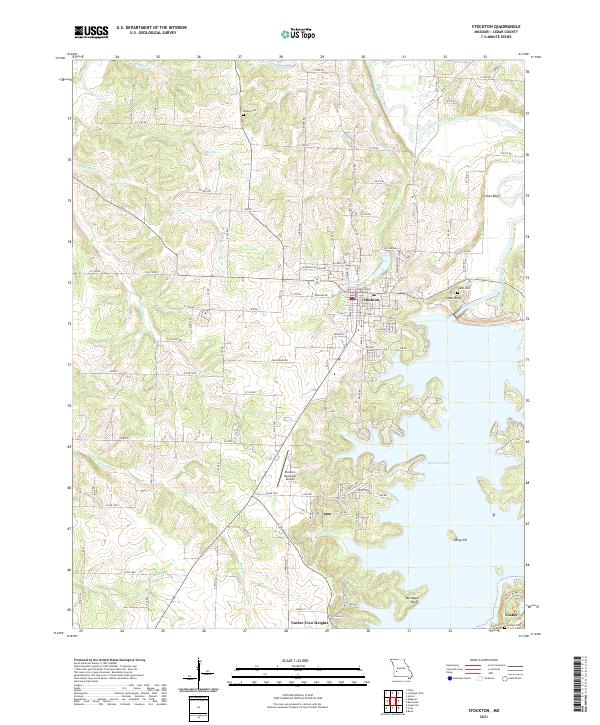
Stockton serves as the focal point of this Cedar County region, where the town grid is anchored by the Cedar County Courthouse. The landscape is profoundly defined by the waters of Stockton Lake, which branches into numerous coves fed by tributaries like Edge Br and Cothuett Br. This man-made reservoir has reshaped the local geography, surrounding elevated points such as Rutledge Bluff and King Hill.
Find a feature on this map
64 named features on this map. Tap any name to fly to it.
Don’t see what you’re looking for? This feature index may not catch every label — zoom into the map to look around manually.
Map Details
Date Portrayed2021
Date Published2021
PublisherU.S. Geological Survey
Map TypeTopographic
Scale1:24000
Physical Dimensions24 x 29 inches
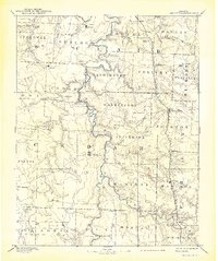
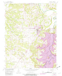
Editions of this 2021 Stockton Map
This is the sole edition of this map. No revisions or reprints were ever made.
Historical Maps of Umber View Heights Through Time
Featured Locations
Source Details
SourceU.S. Geological Survey
CopyrightPublic Domain