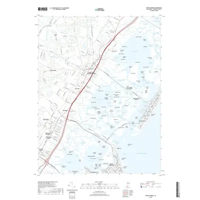
2019 Map of Stone Harbor
USGS Topo · Published 2019About this map
Cape May Court House serves as the inland anchor of this coastal landscape, situated west of the extensive salt marshes and tidal channels that separate the mainland from the barrier islands. The map details a complex network of waterways, including Jenkins Sound, Grassy Sound, and the Intracoastal Waterway, which define the geography between the mainland and Seven Mile Beach. On the coast, the planned grids of Stone Harbor and Avalon show the highly developed nature of the Atlantic frontage, while the interior reveals smaller communities like Mayville, Burleigh, and Whitesboro. Significant local landmarks like the Cape May County Courthouse and the Cape May County Veteran's Cem provide important reference points for genealogists and local historians tracking the growth of this Jersey Shore region.
Find a feature on this map
318 named features on this map. Tap any name to fly to it.
Don’t see what you’re looking for? This feature index may not catch every label — zoom into the map to look around manually.
Map Details
Editions of this 2019 Stone Harbor Map
This is the sole edition of this map. No revisions or reprints were ever made.
Other maps of this area

1884 · Sea Isle
USGS Topo · 1:62,500

1888 · Cape May
USGS Topo · 1:62,500

1888 · Dennisville
USGS Topo · 1:62,500

1888 · Sea Isle
USGS Topo · 1:62,500

1893 · Cape May
USGS Topo · 1:62,500

1894 · Dennisville
USGS Topo · 1:62,500

1894 · Sea Isle
USGS Topo · 1:62,500

1898 · Cape May
USGS Topo · 1:62,500

1918 · Cape May
USGS Topo · 1:62,500

1919 · Sea Isle
USGS Topo · 1:62,500