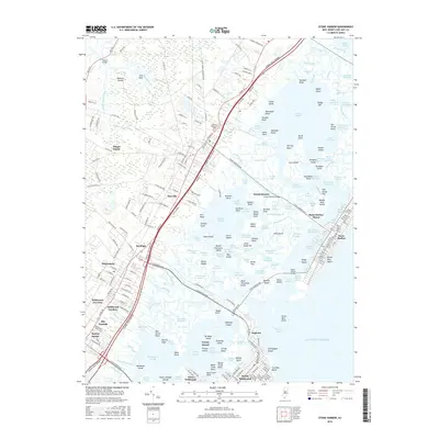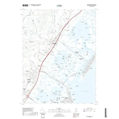
2023 Map of Stone Harbor
USGS Topo · Published 2023About this map
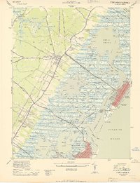
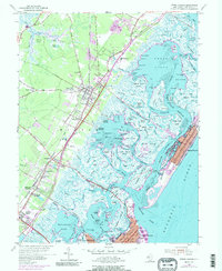
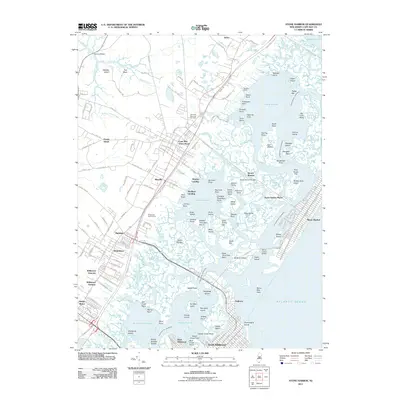
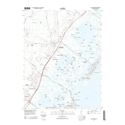
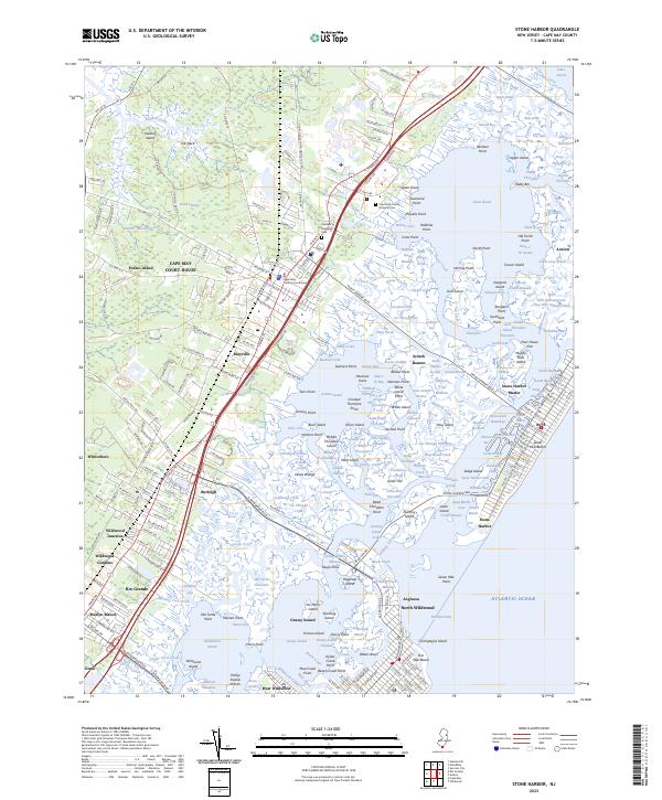
Cape May Court House serves as the inland anchor for this coastal survey, where the historic Cape May County Courthouse stands near the intersection of the region's primary transport corridors. The landscape is defined by the complex aquatic network of the Jersey Shore, where Seven Mile Beach and Five Mile Beach are separated from the mainland by a dense labyrinth of salt marshes and tidal channels. Notable waterways like Jenkins Sound, Stites Sound, and Gravelly Run weave through numerous landforms including Nummy Island and Ring Island. To the west, the mainland transitions into developed communities such as Burleigh, Rio Grande, and Whitesboro. Significant local landmarks include the Cape May County Veterans Cem and Fairview Memorial Cem, which provide valuable touchstones for those researching the genealogical history of this barrier island and mainland corridor.
Find a feature on this map
302 named features on this map. Tap any name to fly to it.
Don’t see what you’re looking for? This feature index may not catch every label — zoom into the map to look around manually.
Map Details
Editions of this 2023 Stone Harbor Map
This is the sole edition of this map. No revisions or reprints were ever made.
Historical Maps of Lower Township Through Time
7 maps found