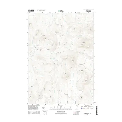
2015 Map of Stone Mountain
USGS Topo · Published 2015About this map
Stone Mountain and its surrounding peaks define this corner of Essex County, where the topography transitions into a dense network of high-altitude ponds and drainage systems. The landscape is marked by numerous family-named peaks and cemeteries, indicating a long history of upland settlement and land use. Boyce Cem, Stuart Cem, and Spaulding Cem are preserved among the ridges, offering valuable landmarks for genealogical research in this part of Vermont.
Find a feature on this map
64 named features on this map. Tap any name to fly to it.
Don’t see what you’re looking for? This feature index may not catch every label — zoom into the map to look around manually.
Map Details
Editions of this 2015 Stone Mountain Map
This is the sole edition of this map. No revisions or reprints were ever made.
Other maps of this area

1900 · Whitefield
USGS Topo · 1:62,500

1920 · Guildhall
USGS Topo · 1:62,500

1931 · Guildhall
USGS Topo · 1:48,000

1931 · Littleton
USGS Topo · 1:62,500

1932 · Littleton
USGS Topo · 1:48,000

1933 · Guildhall
USGS Topo · 1:48,000

1935 · Littleton
USGS Topo · 1:62,500

1935 · Whitefield
USGS Topo · 1:48,000

1937 · Guildhall
USGS Topo · 1:62,500

1938 · Whitefield
USGS Topo · 1:62,500