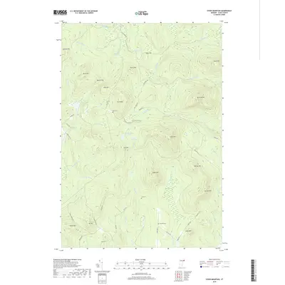
2018 Map of Stone Mountain
USGS Topo · Published 2018About this map
Stone Mtn and Cow Mtn anchor this high-elevation landscape in the northeastern reaches of the state, where the terrain is defined by a dense network of peaks and drainage basins. Remote family-named landmarks like Boyce Cem, Stuart Cem, and Spaulding Cem provide critical genealogical links to the early residents of this wooded territory. The hydrography of the area is particularly complex, featuring high-country water bodies such as Cow Mountain Pond, Little Mud Pond, and Mud Pond. These basins feed numerous watercourses including Cutler Mill Brook, Granby Stream, and Stony Brook, which descend through gaps like Buzzell Gap. The road network, consisting largely of local routes like Guildhall Rd and Granby Rd, reflects the topographical constraints of a region shaped by summits such as Nurse Mtn and Sheridan Mtn.
Find a feature on this map
62 named features on this map. Tap any name to fly to it.
Don’t see what you’re looking for? This feature index may not catch every label — zoom into the map to look around manually.
Map Details
Editions of this 2018 Stone Mountain Map
This is the sole edition of this map. No revisions or reprints were ever made.
Other maps of this area

1900 · Whitefield
USGS Topo · 1:62,500

1920 · Guildhall
USGS Topo · 1:62,500

1931 · Guildhall
USGS Topo · 1:48,000

1931 · Littleton
USGS Topo · 1:62,500

1932 · Littleton
USGS Topo · 1:48,000

1933 · Guildhall
USGS Topo · 1:48,000

1935 · Littleton
USGS Topo · 1:62,500

1935 · Whitefield
USGS Topo · 1:48,000

1937 · Guildhall
USGS Topo · 1:62,500

1938 · Whitefield
USGS Topo · 1:62,500