Loading...
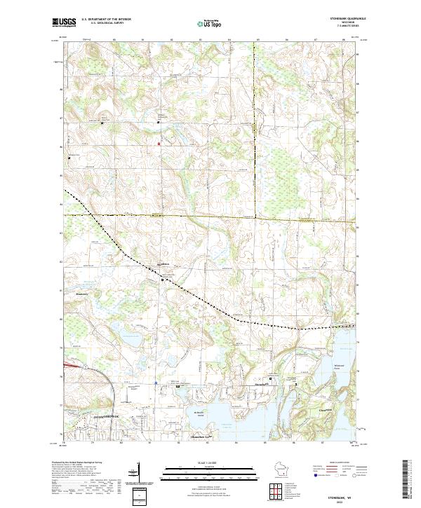
Loading map...2022 Map of Stonebank
USGS Topo · Published 2022About this map
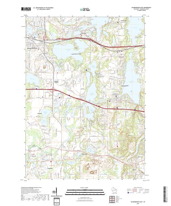
Okauchee Lake and North Lake anchor this modern landscape at the convergence of Dodge, Washington, and Waukesha Counties. The Ashippun River meanders through the central terrain, feeding the Alderley Millpond and passing near established settlements like Mapleton and Monterey. This era shows a well-developed network of rural roads and residential enclaves, particularly concentrated around the shores of Chenequa and Pine Lake.
Find a feature on this map
116 named features on this map. Tap any name to fly to it.
Don’t see what you’re looking for? This feature index may not catch every label — zoom into the map to look around manually.
Map Details
Date Portrayed2022
Date Published2022
PublisherU.S. Geological Survey
Map TypeTopographic
Scale1:24000
Physical Dimensions24 x 29 inches
Editions of this 2022 Stonebank Map
This is the sole edition of this map. No revisions or reprints were ever made.
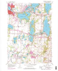
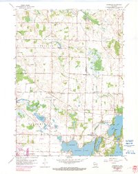
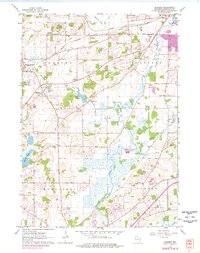
Historical Maps of Oconomowoc Through Time
6 maps found
Featured Locations
Source Details
SourceU.S. Geological Survey
CopyrightPublic Domain