
1981 Map of Stonehouse Ranch NE
USGS Topo · Published 1982About this map
Gurney Ranch and Bouy Ranch sit within a landscape of rolling sand hills and depressions in northern Nebraska. This 1981 survey of the Sandhills region highlights the remote, pastoral character of Rock County, where land use is dictated by the undulating terrain and seasonal water features. To the south, the expansive Gracie Flats provides a level break from the surrounding dune topography, while Long Lake marks the northeastern corner of the quadrangle. The map is a precise record of the isolated ranching outposts and scattered wells that sustained the local cattle economy during the late twentieth century.
Find a feature on this map
5 named features on this map. Tap any name to fly to it.
Don’t see what you’re looking for? This feature index may not catch every label — zoom into the map to look around manually.
Map Details
Editions of this 1981 Stonehouse Ranch NE Map
This is the sole edition of this map. No revisions or reprints were ever made.
Other maps of this area

1955 · O'Neill
USGS Topo · 1:250,000

1959 · O'Neill
USGS Topo · 1:250,000

1969 · O'Neill
USGS Topo · 1:250,000

1981 · Bruner Lake
USGS Topo · 1:24,000

1981 · Stonehouse Ranch NW
USGS Topo · 1:24,000
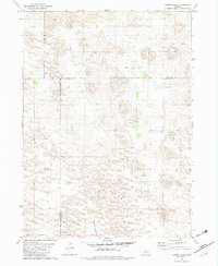
1981 · Carson Lake
USGS Topo · 1:24,000
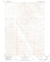
1981 · Stonehouse Ranch
USGS Topo · 1:24,000
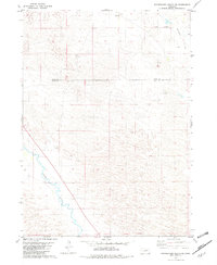
1981 · Stonehouse Ranch SW
USGS Topo · 1:24,000

1982 · Stockdale Lake
USGS Topo · 1:24,000

1982 · Sybrant
USGS Topo · 1:24,000