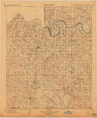
1901 Map of Stonewall
USGS Topo · Published 1914About this map
The Seminole Nation territory meets the Oklahoma Indian Territory Boundary Line in this late 19th-century survey of south-central Oklahoma. The landscape is defined by the winding course of the Canadian River and the Little River, which carve through a network of small settlements such as Ada, Stonewall, and Roff. This map captures the area just before the formal transition to statehood, showing established landmarks like the Collins Institute near Franks and early township centers like Center and Maxwell.
Find a feature on this map
90 named features on this map. Tap any name to fly to it.
Don’t see what you’re looking for? This feature index may not catch every label — zoom into the map to look around manually.
Map Details
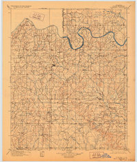
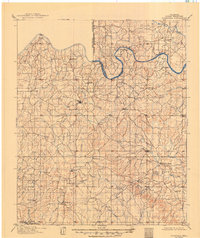
Editions of this 1901 Stonewall Map
4 editions found
Other maps of this area

1896 · Seminole and Prague
USGS Topo · 1:125,000

1896 · Coalgate
USGS Topo · 1:125,000

1898 · Purcell
USGS Topo · 1:125,000

1898 · Pauls Valley
USGS Topo · 1:125,000

1899 · Coalgate
USGS Topo · 1:125,000

1899 · Atoka
USGS Topo · 1:125,000

1900 · Wewoka
USGS Topo · 1:125,000

1900 · Atoka
USGS Topo · 1:125,000

1900 · Coalgate
USGS Topo · 1:125,000

1901 · Stonewall
USGS Topo · 1:125,000