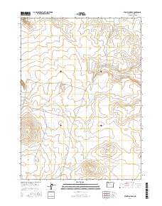
2017 Map of Stoney Corral
USGS Topo · Published 2017About this map
Stoney Corral stands as a primary landmark in this high-desert region of Malheur County, anchored by the prominent Stoney Corral Ridge. The landscape is defined by an intricate network of water management features, including Little Louise Canyon Reservoir and the uniquely named Banana Lake. This reliance on dispersed water catchments such as East Black Butte Reservoir and Napoleon Reservoir reflects the area's grazing and land-use history.
Find a feature on this map
23 named features on this map. Tap any name to fly to it.
Don’t see what you’re looking for? This feature index may not catch every label — zoom into the map to look around manually.
Map Details
Editions of this 2017 Stoney Corral Map
This is the sole edition of this map. No revisions or reprints were ever made.
Other maps of this area

1955 · Jordan Valley
USGS Topo · 1:250,000

1957 · Jordan Valley
USGS Topo · 1:250,000

1958 · Jordan Valley
USGS Topo · 1:250,000

1982 · Lookout Lake
USGS Topo · 1:24,000
1982 · Star Valley Knoll
USGS Topo · 1:24,000
1982 · Rawhide Pocket
USGS Topo · 1:24,000
1982 · Defeat Butte
USGS Topo · 1:24,000

1982 · Guadalupe Meadows
USGS Topo · 1:24,000
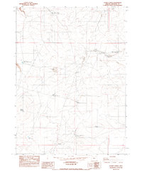
1982 · Stoney Corral
USGS Topo · 1:24,000
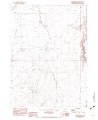
1982 · Rawhide Springs
USGS Topo · 1:24,000