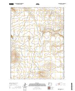
2020 Map of Stoney Corral
USGS Topo · Published 2020About this map
Stoney Corral serves as the central landmark for this high-desert landscape in Malheur County, situated along the base of Stoney Corral Ridge. The map illustrates an arid territory where water management is the primary human footprint, marked by a systematic network of catchments and drainage features. These include the Deep Draw Reservoir to the north and the cluster of Wildhorse Reservoir and Lower Wildhorse Reservoir near the central drainage of Toppin Cr.
Find a feature on this map
22 named features on this map. Tap any name to fly to it.
Don’t see what you’re looking for? This feature index may not catch every label — zoom into the map to look around manually.
Map Details
Editions of this 2020 Stoney Corral Map
This is the sole edition of this map. No revisions or reprints were ever made.
Other maps of this area

1955 · Jordan Valley
USGS Topo · 1:250,000

1957 · Jordan Valley
USGS Topo · 1:250,000

1958 · Jordan Valley
USGS Topo · 1:250,000

1982 · Lookout Lake
USGS Topo · 1:24,000
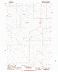
1982 · Star Valley Knoll
USGS Topo · 1:24,000
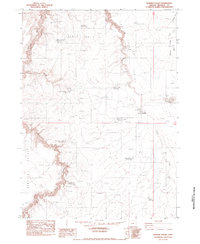
1982 · Rawhide Pocket
USGS Topo · 1:24,000
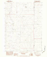
1982 · Defeat Butte
USGS Topo · 1:24,000

1982 · Guadalupe Meadows
USGS Topo · 1:24,000
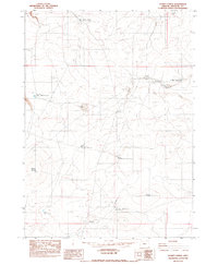
1982 · Stoney Corral
USGS Topo · 1:24,000
1982 · Rawhide Springs
USGS Topo · 1:24,000