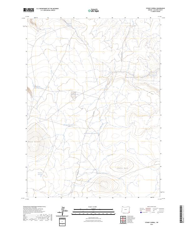
2024 Map of Stoney Corral
USGS Topo · Published 2024About this map
Stoney Corral Ridge dominates the upper reaches of this southeastern Oregon landscape, where the high desert terrain is punctuated by significant volcanic landmarks and a dispersed network of water management features. The area's topography is anchored by Black Butte in the west and Lookout Butte to the south, overlooking a series of seasonal drainages and catchment basins. This remote section of Malheur County reflects a complex system of livestock-centered water infrastructure, including several named catchments such as Deep Draw Reservoir, Wildhorse Reservoir, and the uniquely named Banana Lake. The mapping of primitive routes like Sharon Creek Reservoir Rd and Tent Creek Rd reveals the essential access paths used by land managers and ranchers to navigate the drainage basins of Toppin Creek.
Find a feature on this map
21 named features on this map. Tap any name to fly to it.
Don’t see what you’re looking for? This feature index may not catch every label — zoom into the map to look around manually.
Map Details
Editions of this 2024 Stoney Corral Map
This is the sole edition of this map. No revisions or reprints were ever made.
Other maps of this area

1955 · Jordan Valley
USGS Topo · 1:250,000

1957 · Jordan Valley
USGS Topo · 1:250,000

1958 · Jordan Valley
USGS Topo · 1:250,000

1982 · Lookout Lake
USGS Topo · 1:24,000
1982 · Star Valley Knoll
USGS Topo · 1:24,000
1982 · Rawhide Pocket
USGS Topo · 1:24,000
1982 · Defeat Butte
USGS Topo · 1:24,000

1982 · Guadalupe Meadows
USGS Topo · 1:24,000
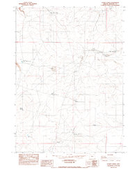
1982 · Stoney Corral
USGS Topo · 1:24,000
1982 · Rawhide Springs
USGS Topo · 1:24,000