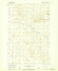
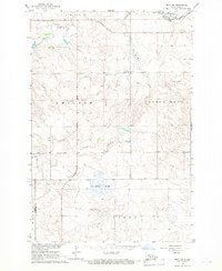
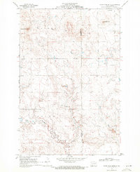
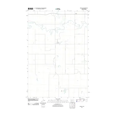
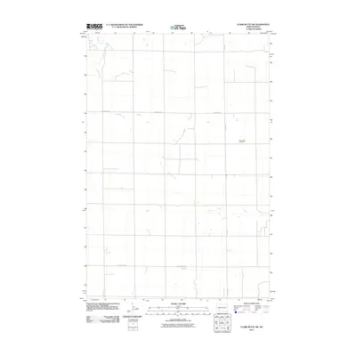
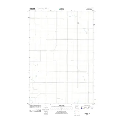
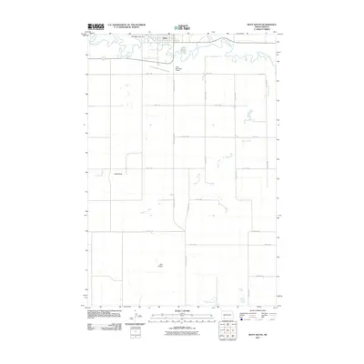
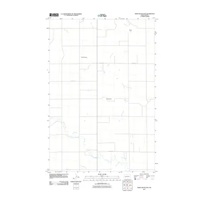
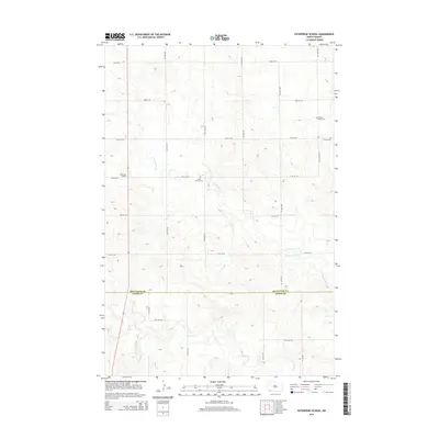
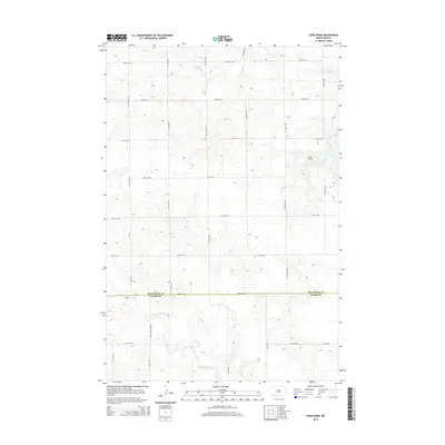
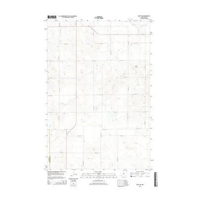
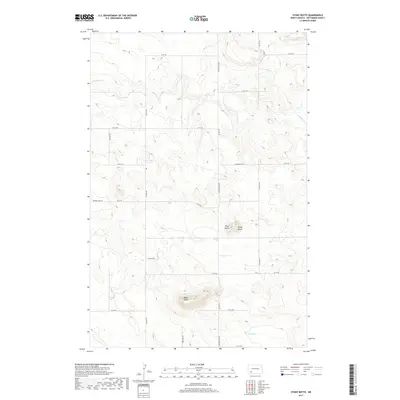
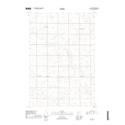
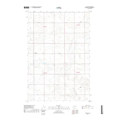
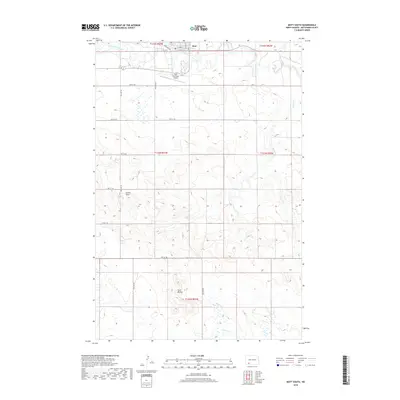
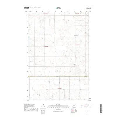
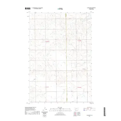
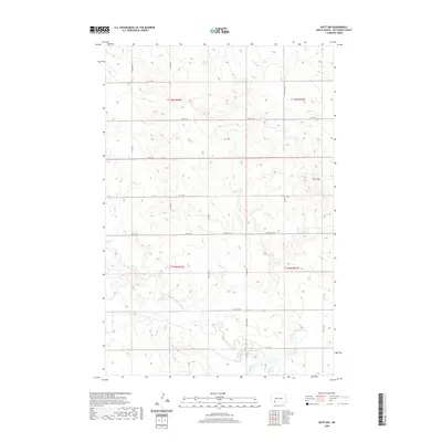
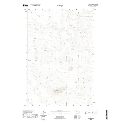
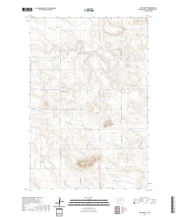
1973 Map of Stony Butte
USGS Topo · Published 1977About this map
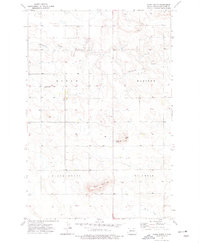
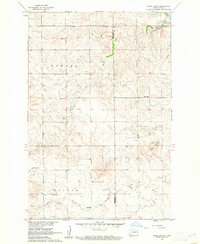
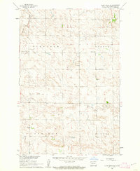
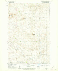
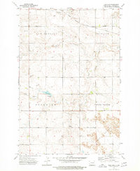
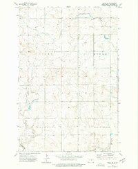
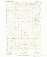
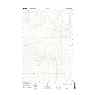
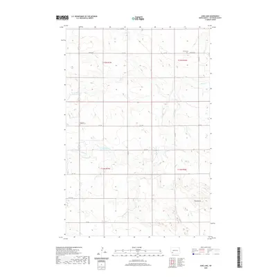
Stony Butte and Pearl Butte rise from the high plains of Hettinger County, marking a landscape defined by isolated peaks and expansive township divisions. Surveyed in the early 1970s, the area is organized into the civil townships of Rifle, Madison, Black Butte, and St Croix. Social and spiritual life for this rural community centers on the Zion Ch and adjacent Zion Cem, providing essential points of reference for genealogists tracing pioneer family history in western North Dakota. Drainage for the region is provided by Thirtymile Creek, which winds through the northern sections of the map. The inclusion of a small Landing Strip near the center of the sheet highlights the continued importance of light aviation for agriculture and transport in these open stretches of the Dakotas.
Find a feature on this map
15 named features on this map. Tap any name to fly to it.
Don’t see what you’re looking for? This feature index may not catch every label — zoom into the map to look around manually.
Map Details
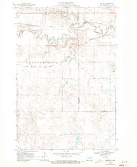
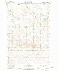
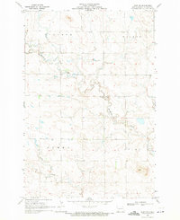
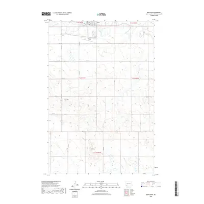
Editions of this 1973 Stony Butte Map
This is the sole edition of this map. No revisions or reprints were ever made.
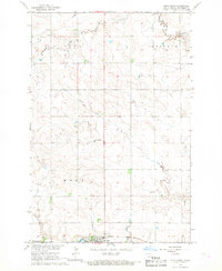
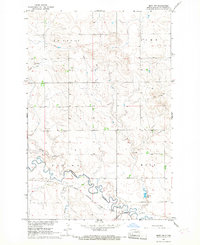
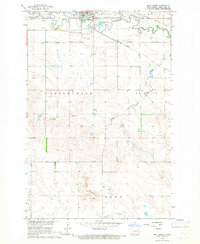
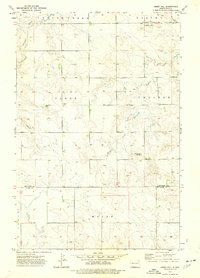
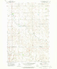
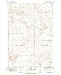
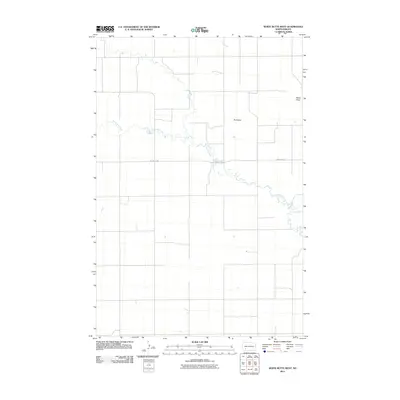
Historical Maps of Hettinger County Through Time
115 maps found
1960 Clark Butte
Hettinger County, ND
1960 Clark Butte SW
Hettinger County, ND
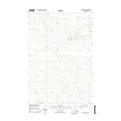
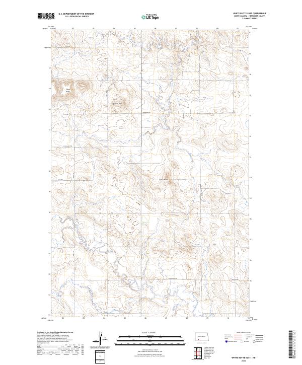
1960 White Butte East
Hettinger County, ND
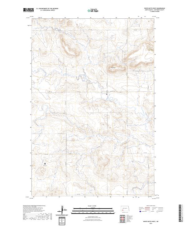
1960 White Butte West
Hettinger County, ND
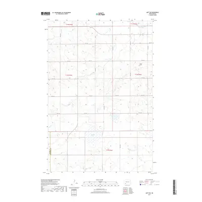
1966 Mott North
Hettinger County, ND
1966 Mott NW
Hettinger County, ND
1966 Mott South
Hettinger County, ND
1966 Mott SW
Hettinger County, ND
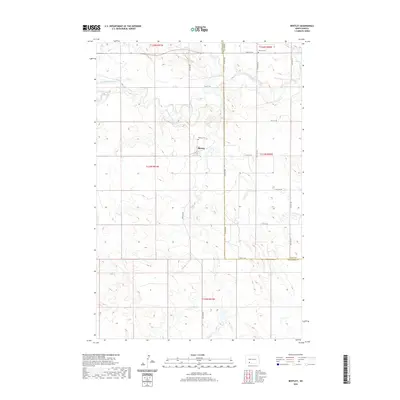
1969 Bentley
Hettinger County, ND
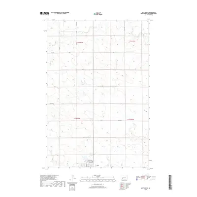
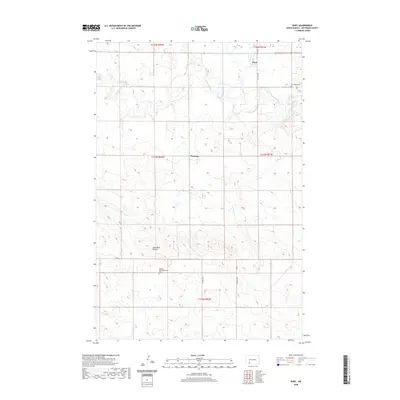
1969 Burt
Hettinger County, ND
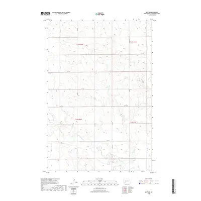
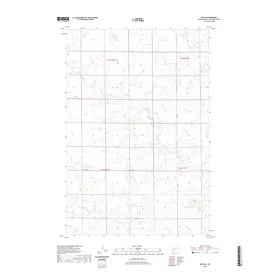
1969 Burt NW
Hettinger County, ND
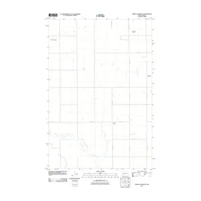
1969 North Star Butte
Hettinger County, ND
1973 Abbey Hill
Hettinger County, ND
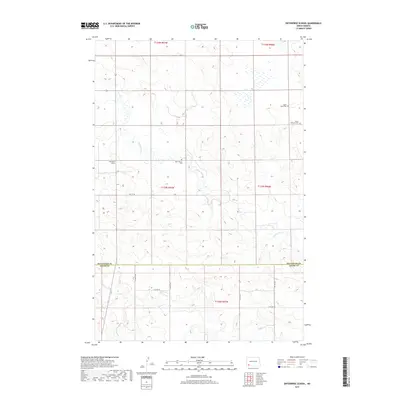
1973 Enterprise School
Hettinger County, ND
1973 Havelock
Hettinger County, ND
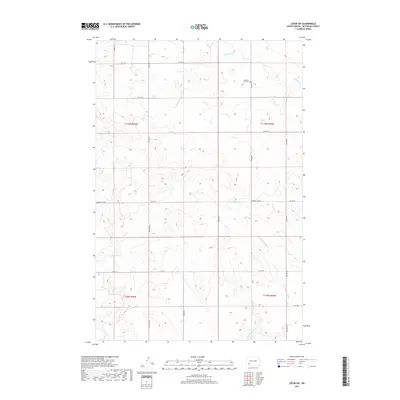
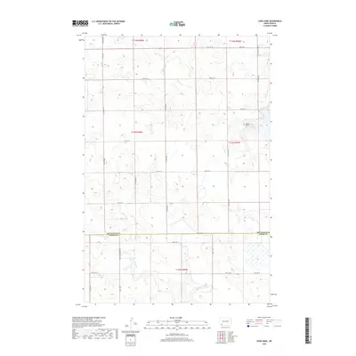
1973 Jung Lake
Hettinger County, ND
1973 Lefor SW
Hettinger County, ND
1973 Liens Dams
Hettinger County, ND
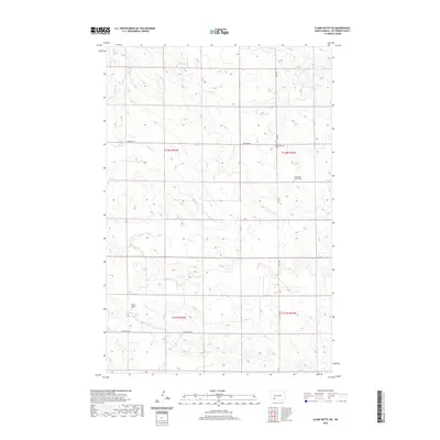
1973 Stony Butte
Hettinger County, ND
2011 Abbey Hill
Hettinger County, ND
2011 Bentley
Hettinger County, ND
2011 Burt
Hettinger County, ND
2011 Burt NW
Hettinger County, ND
2011 Clark Butte
Hettinger County, ND
2011 Clark Butte SW
Hettinger County, ND
2011 Enterprise School
Hettinger County, ND
2011 Havelock
Hettinger County, ND
2011 Jung Lake
Hettinger County, ND
2011 Lefor SW
Hettinger County, ND
2011 Liens Dams
Hettinger County, ND
2011 Mott North
Hettinger County, ND
2011 Mott NW
Hettinger County, ND
2011 Mott South
Hettinger County, ND
2011 Mott SW
Hettinger County, ND
2011 North Star Butte
Hettinger County, ND
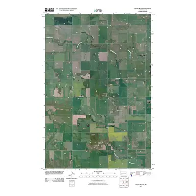
2011 Stony Butte
Hettinger County, ND
2011 White Butte East
Hettinger County, ND
2011 White Butte West
Hettinger County, ND
2014 Abbey Hill
Hettinger County, ND
2014 Bentley
Hettinger County, ND
2014 Burt
Hettinger County, ND
2014 Burt NW
Hettinger County, ND
2014 Clark Butte
Hettinger County, ND
2014 Clark Butte SW
Hettinger County, ND
2014 Enterprise School
Hettinger County, ND
2014 Havelock
Hettinger County, ND
2014 Jung Lake
Hettinger County, ND
2014 Lefor SW
Hettinger County, ND
2014 Liens Dams
Hettinger County, ND
2014 Mott North
Hettinger County, ND
2014 Mott NW
Hettinger County, ND
2014 Mott South
Hettinger County, ND
2014 Mott SW
Hettinger County, ND
2014 North Star Butte
Hettinger County, ND
2014 Stony Butte
Hettinger County, ND
2014 White Butte East
Hettinger County, ND
2014 White Butte West
Hettinger County, ND
2017 Enterprise School
Hettinger County, ND
2017 Lefor SW
Hettinger County, ND
2017 Mott SW
Hettinger County, ND
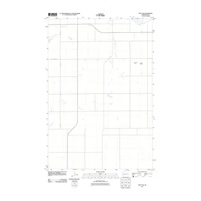
2017 Stony Butte
Hettinger County, ND
2018 Abbey Hill
Hettinger County, ND
2018 Bentley
Hettinger County, ND
2018 Burt
Hettinger County, ND
2018 Burt NW
Hettinger County, ND
2018 Clark Butte
Hettinger County, ND
2018 Clark Butte SW
Hettinger County, ND
2018 Havelock
Hettinger County, ND
2018 Jung Lake
Hettinger County, ND
2018 Liens Dams
Hettinger County, ND
2018 Mott North
Hettinger County, ND
2018 Mott NW
Hettinger County, ND
2018 Mott South
Hettinger County, ND
2018 North Star Butte
Hettinger County, ND
2018 White Butte East
Hettinger County, ND
2018 White Butte West
Hettinger County, ND
2020 Abbey Hill
Hettinger County, ND
2020 Bentley
Hettinger County, ND
2020 Burt
Hettinger County, ND
2020 Burt NW
Hettinger County, ND
2020 Clark Butte
Hettinger County, ND
2020 Clark Butte SW
Hettinger County, ND
2020 Enterprise School
Hettinger County, ND
2020 Havelock
Hettinger County, ND
2020 Jung Lake
Hettinger County, ND
2020 Lefor SW
Hettinger County, ND
2020 Liens Dams
Hettinger County, ND
2020 Mott North
Hettinger County, ND
2020 Mott NW
Hettinger County, ND
2020 Mott South
Hettinger County, ND
2020 Mott SW
Hettinger County, ND
2020 North Star Butte
Hettinger County, ND
2020 Stony Butte
Hettinger County, ND
2020 White Butte East
Hettinger County, ND
2020 White Butte West
Hettinger County, ND
2023 Havelock
Hettinger County, ND
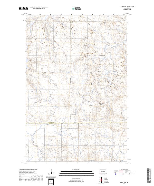
2024 Abbey Hill
Hettinger County, ND
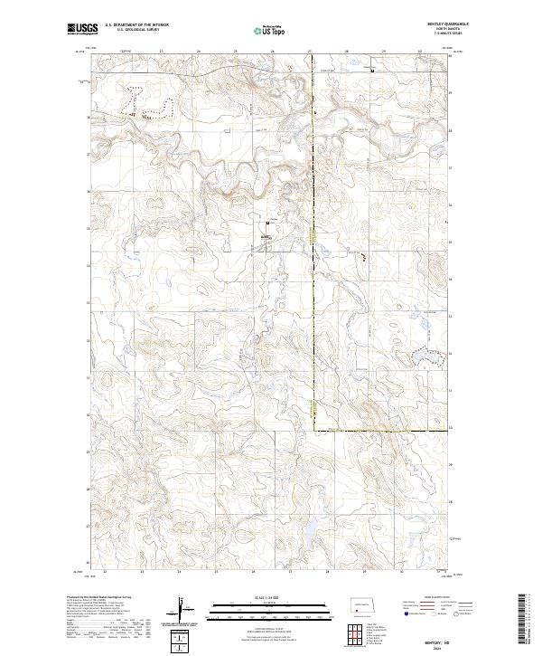
2024 Bentley
Hettinger County, ND
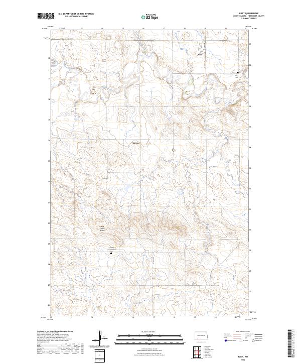
2024 Burt
Hettinger County, ND
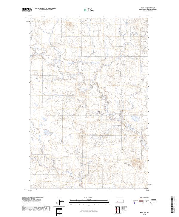
2024 Burt NW
Hettinger County, ND
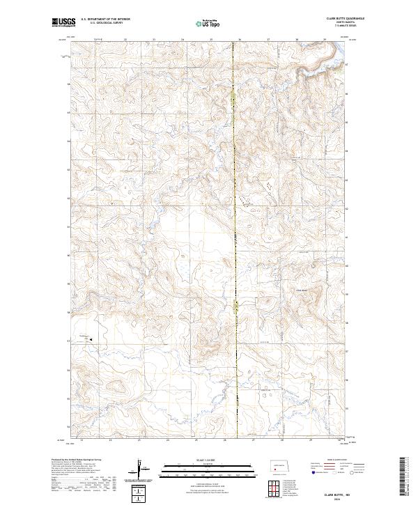
2024 Clark Butte
Hettinger County, ND
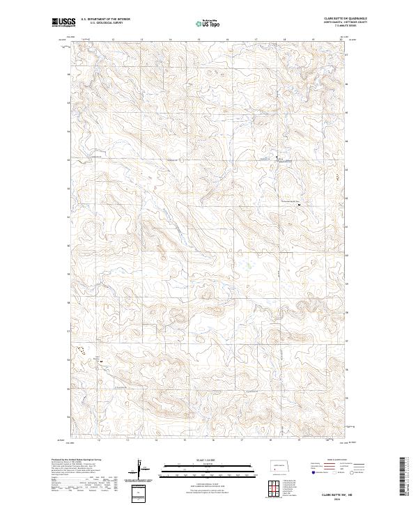
2024 Clark Butte SW
Hettinger County, ND
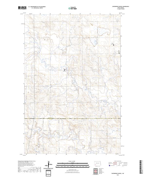
2024 Enterprise School
Hettinger County, ND
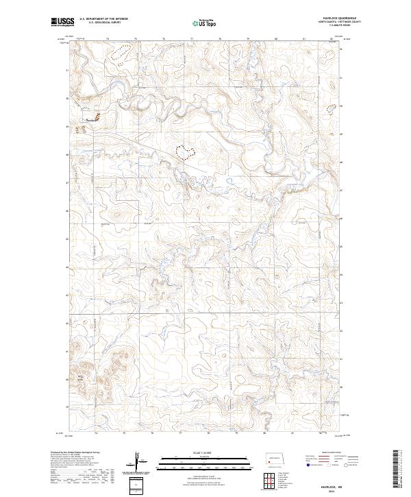
2024 Havelock
Hettinger County, ND
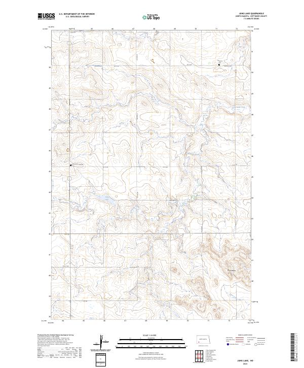
2024 Jung Lake
Hettinger County, ND
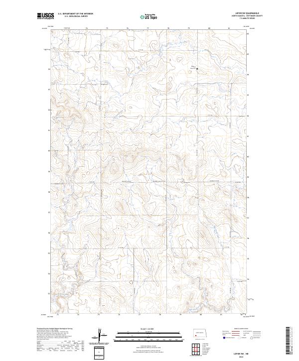
2024 Lefor SW
Hettinger County, ND
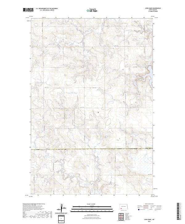
2024 Liens Dams
Hettinger County, ND
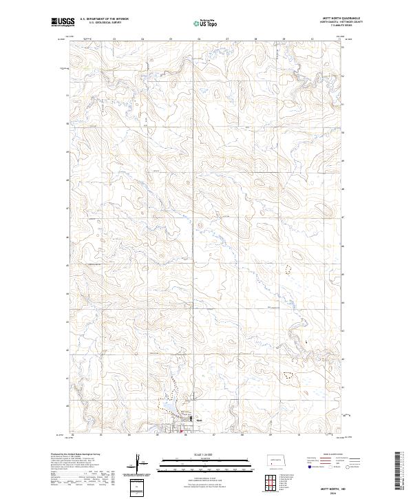
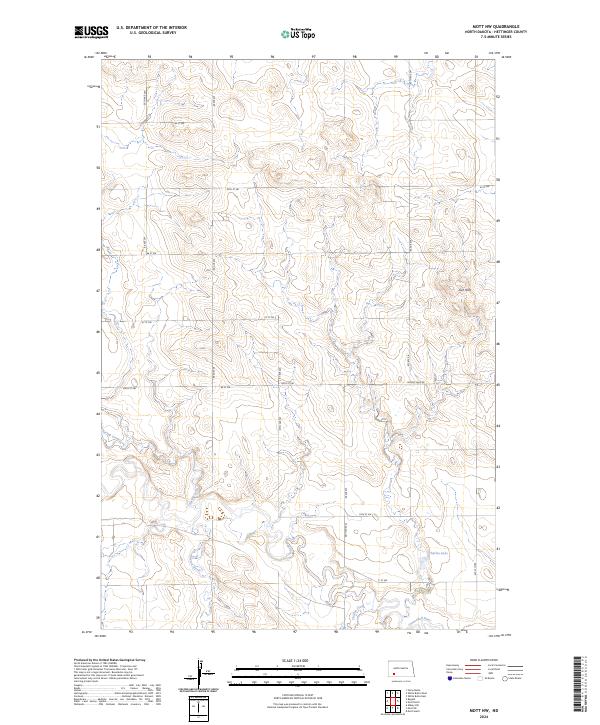
2024 Mott North
Hettinger County, ND
2024 Mott NW
Hettinger County, ND
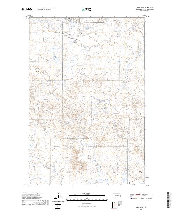
2024 Mott South
Hettinger County, ND
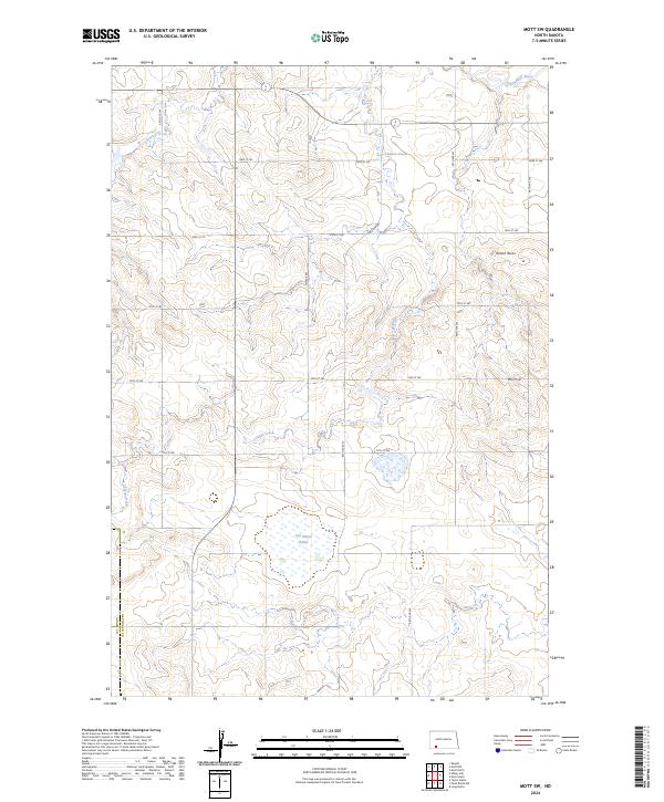
2024 Mott SW
Hettinger County, ND
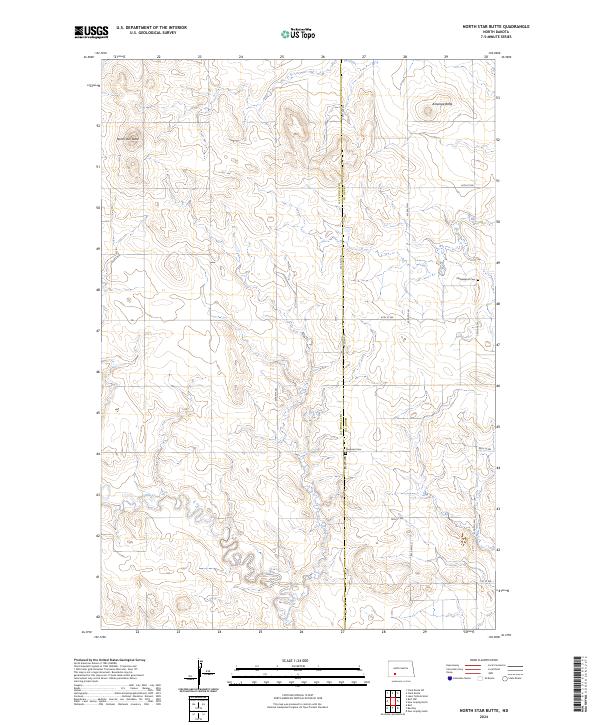
2024 North Star Butte
Hettinger County, ND
2024 Stony Butte
Hettinger County, ND
2024 White Butte East
Hettinger County, ND
2024 White Butte West
Hettinger County, ND