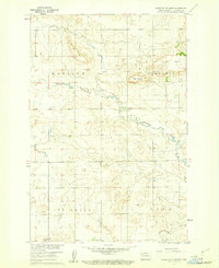
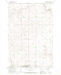
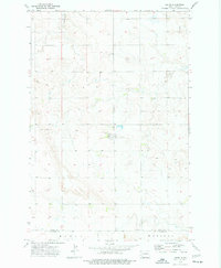
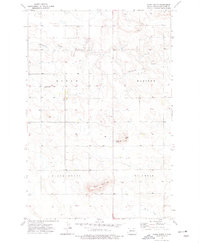
1960 Map of White Butte West
USGS Topo · Published 1961About this map
White Butte and Bull Butte dominate this section of Hettinger County, rising above the winding course of Thirtymile Creek. Surveyed in the late 1950s, the landscape is organized into distinct townships including Madison, Campbell, St Croix, and Acme. The map reveals a rural community supported by a network of unimproved dirt roads connecting isolated farmsteads and key local institutions. Cultural landmarks like St Michael Ch and School No 1 provide essential anchor points for genealogists and local historians researching the mid-century social geography of North Dakota. In addition to agricultural land use, the presence of a Gravel Pit indicates small-scale local industry. This map was produced by the Geological Survey as part of the Department of the Interior program for the development of the Missouri River Basin.
Find a feature on this map
10 named features on this map. Tap any name to fly to it.
Don’t see what you’re looking for? This feature index may not catch every label — zoom into the map to look around manually.
Map Details
Editions of this 1960 White Butte West Map
This is the sole edition of this map. No revisions or reprints were ever made.
Other maps of this area

1953 · Dickinson
USGS Topo · 1:250,000

1957 · Dickinson
USGS Topo · 1:250,000

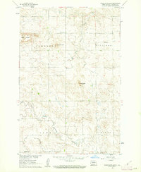
1960 · White Butte NW
USGS Topo · 1:24,000

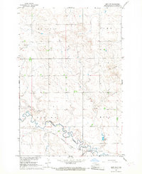
1960 · White Butte NE
USGS Topo · 1:24,000
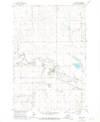
1960 · White Butte East
USGS Topo · 1:24,000
1966 · Mott NW
USGS Topo · 1:24,000
1966 · Regent
USGS Topo · 1:24,000
1966 · Mott North
USGS Topo · 1:24,000
1973 · Lefor
USGS Topo · 1:24,000
1973 · Stony Butte
USGS Topo · 1:24,000