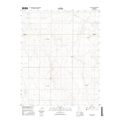
2017 Map of Stony Lake
USGS Topo · Published 2017About this map
Stony Lake and the surrounding high plains of northeastern New Mexico are defined by a collection of isolated water features and dramatic landforms. This 2017 survey details the boundary between Colfax and Mora counties, a landscape where seasonal hydrology is marked by the presence of Dry Laguna and Ferguson Lake. The drainage of Ocate Cr cuts across the northern reaches of the quadrangle, while the southern terrain is sculpted by prominent geological features such as Dog Canyon and Pup Canyon. This area remains largely undeveloped, with Co Rd C-4 providing the primary access through the northern basin. The map offers a precise view of the Public Land Survey System grid, including townships t23n r22e and t22n r23e, which is essential for modern property research and historical land-use analysis in this part of the state.
Find a feature on this map
12 named features on this map. Tap any name to fly to it.
Don’t see what you’re looking for? This feature index may not catch every label — zoom into the map to look around manually.
Map Details
Editions of this 2017 Stony Lake Map
This is the sole edition of this map. No revisions or reprints were ever made.
Other maps of this area

1954 · Raton
USGS Topo · 1:250,000

1958 · Raton
USGS Topo · 1:250,000

1964 · Stony Lake
USGS Topo · 1:24,000

1964 · Wagon Mound
USGS Topo · 1:24,000

1964 · Alto De Hormiga
USGS Topo · 1:24,000

1964 · Colmor
USGS Topo · 1:24,000

1964 · Pinon Hills
USGS Topo · 1:24,000

1965 · Taylor Springs
USGS Topo · 1:24,000

1965 · Springer
USGS Topo · 1:24,000

1972 · Canon Colorado
USGS Topo · 1:24,000