
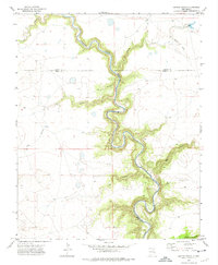
1964 Map of Stony Lake
USGS Topo · Published 1966About this map
The Santa Fe Trail cuts through this high plateau region in the mid-1960s, tracing a historic path across the border of Colfax and Mora counties. The landscape is defined by the winding course of Ocate Creek, which flows past the Red River Ranch and its associated Landing Field. This era of land use reveals a mixture of traditional ranching and modern aviation infrastructure appearing alongside seasonal water bodies like Dry Laguna and Ferguson Lake. To the south, the namesake Stony Lake sits near the head of dramatic drainage features, including Pup Canyon and Dog Canyon, illustrating the erosive power of water in this arid high-country environment.
Find a feature on this map
10 named features on this map. Tap any name to fly to it.
Don’t see what you’re looking for? This feature index may not catch every label — zoom into the map to look around manually.
Map Details
Editions of this 1964 Stony Lake Map
This is the sole edition of this map. No revisions or reprints were ever made.
Other maps of this area

1954 · Raton
USGS Topo · 1:250,000

1958 · Raton
USGS Topo · 1:250,000

1964 · Wagon Mound
USGS Topo · 1:24,000

1964 · Alto De Hormiga
USGS Topo · 1:24,000

1964 · Colmor
USGS Topo · 1:24,000

1964 · Pinon Hills
USGS Topo · 1:24,000

1965 · Taylor Springs
USGS Topo · 1:24,000

1965 · Springer
USGS Topo · 1:24,000

1972 · Canon Colorado
USGS Topo · 1:24,000
1972 · Jaritas Ranch
USGS Topo · 1:24,000