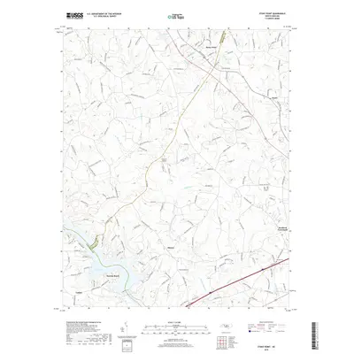
2019 Map of Stony Point
USGS Topo · Published 2019About this map
The rolling hills of the North Carolina Piedmont define this landscape where the Alexander Co and Iredell Co borders meet. Settled communities like Stony Point and Scotts anchor the northern reaches, while the terrain to the south descends toward the waters of the Catawba River. The creation of Lake Lookout has fundamentally altered the southern topography, creating a jagged shoreline that gave rise to residential developments like Sunrise Beach and the small settlement of Catfish.
Find a feature on this map
154 named features on this map. Tap any name to fly to it.
Don’t see what you’re looking for? This feature index may not catch every label — zoom into the map to look around manually.
Map Details
Editions of this 2019 Stony Point Map
This is the sole edition of this map. No revisions or reprints were ever made.
Other maps of this area

1893 · Statesville
USGS Topo · 1:125,000

1895 · Hickory
USGS Topo · 1:125,000

1953 · Charlotte
USGS Topo · 1:250,000

1954 · Charlotte
USGS Topo · 1:250,000

1960 · Charlotte
USGS Topo · 1:250,000

1962 · Charlotte
USGS Topo · 1:250,000

1969 · Troutman
USGS Topo · 1:24,000

1969 · Statesville West
USGS Topo · 1:24,000
1969 · Central
USGS Topo · 1:24,000
1970 · Hiddenite
USGS Topo · 1:24,000