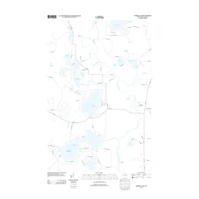
2013 Map of Stormy Lake
USGS Topo · Published 2013About this map
Conover sits at the eastern edge of this glacial landscape, where the Wisconsin River begins its winding course southward through a dense network of lakes and marshes. The terrain is defined by its complex hydrology, featuring large bodies like Stormy Lake and Big Portage Lake alongside smaller, uniquely named features such as Nudist Lake and Portage Spring. Significant water management is evident at the Little Tamarack Flowage and the Jo Reservoir, illustrating how the region's natural drainage has been modified over time.
Find a feature on this map
77 named features on this map. Tap any name to fly to it.
Don’t see what you’re looking for? This feature index may not catch every label — zoom into the map to look around manually.
Map Details
Editions of this 2013 Stormy Lake Map
This is the sole edition of this map. No revisions or reprints were ever made.
Other maps of this area

1928 · Three Lakes
USGS Topo · 1:48,000

1930 · Robbins
USGS Topo · 1:48,000

1938 · Phelps
USGS Topo · 1:48,000

1938 · Three Lakes
USGS Topo · 1:48,000

1938 · Robbins
USGS Topo · 1:48,000

1945 · Three Lakes
USGS Topo · 1:48,000

1945 · Robbins
USGS Topo · 1:48,000

1946 · Star Lake
USGS Topo · 1:48,000

1950 · Phelps
USGS Topo · 1:48,000

1950 · Star Lake
USGS Topo · 1:48,000