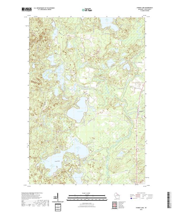
2022 Map of Stormy Lake
USGS Topo · Published 2022About this map
Conover sits at the eastern edge of this dense glacial lake district in northern Wisconsin, where the headwaters of the Wisconsin River begin their southward journey. The landscape is dominated by complex interconnected waterways, from the large basins of Upper Buckatabon Lake and Lower Buckatabon Lake to the central Stormy Lake. A web of forest roads and trails, such as the Vilas Co Game Trl and Marshall Lake Game Trl, navigates the wetland pockets and timbered ridges that define the terrain. Smaller bodies of water like Monaghan Lake, Nudist Lake, and Pearl Lake are scattered throughout, illustrating the region's character as a prime recreational and ecological corridor. The map details the transition from the concentrated water bodies in the west toward the village of Conover, where Pioneer Cr and Muskrat Cr drain into the surrounding lowlands.
Find a feature on this map
97 named features on this map. Tap any name to fly to it.
Don’t see what you’re looking for? This feature index may not catch every label — zoom into the map to look around manually.
Map Details
Editions of this 2022 Stormy Lake Map
This is the sole edition of this map. No revisions or reprints were ever made.
Other maps of this area

1928 · Three Lakes
USGS Topo · 1:48,000

1930 · Robbins
USGS Topo · 1:48,000

1938 · Phelps
USGS Topo · 1:48,000

1938 · Three Lakes
USGS Topo · 1:48,000

1938 · Robbins
USGS Topo · 1:48,000

1945 · Three Lakes
USGS Topo · 1:48,000

1945 · Robbins
USGS Topo · 1:48,000

1946 · Star Lake
USGS Topo · 1:48,000

1950 · Phelps
USGS Topo · 1:48,000

1950 · Star Lake
USGS Topo · 1:48,000