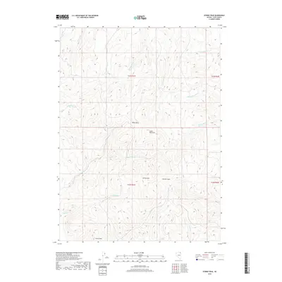
2018 Map of Stormy Peak
USGS Topo · Published 2018About this map
Stormy Peak anchors the southern landscape of this high-elevation region in the Snake Mountains of northeast Nevada. The terrain is defined by a dense network of seasonal drainages and springs, including Red Spring and the headwaters of Tabor Cr. The map reveals the intricate topographic relief of the Great Basin, where prominent features like Balsac Basin and Stormy Canyon provide natural pathways through the high country. Multiple forks of named waterways, such as E Fork Deer Cr and N Fork Jakes Cr, converge in the north, illustrating the complex watershed system that sustains this arid environment. The presence of Spring Gulch and Spring Cr suggests reliable water points that have historically served as vital stops for those navigating these remote mountain ranges.
Find a feature on this map
24 named features on this map. Tap any name to fly to it.
Don’t see what you’re looking for? This feature index may not catch every label — zoom into the map to look around manually.
Map Details
Editions of this 2018 Stormy Peak Map
This is the sole edition of this map. No revisions or reprints were ever made.
Other maps of this area

1955 · Wells
USGS Topo · 1:250,000

1958 · Wells
USGS Topo · 1:250,000

1961 · Wells
USGS Topo · 1:250,000

1967 · Buena Vista Ranch
USGS Topo · 1:24,000

1967 · Black Butte NE
USGS Topo · 1:24,000

1968 · Hubbard Basin
USGS Topo · 1:24,000
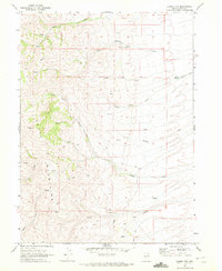
1968 · Loomis Mtn
USGS Topo · 1:24,000

1968 · Hot Creek
USGS Topo · 1:24,000
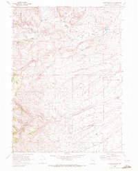
1968 · Boies Reservoir
USGS Topo · 1:24,000
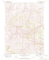
1968 · Stormy Peak
USGS Topo · 1:24,000