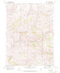
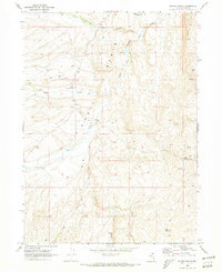
1968 Map of Stormy Peak
USGS Topo · Published 1972About this map
The high ridges of the Snake Mountains dominate this high-desert landscape in northern Elko County. Surveyed in the late 1960s, the terrain is defined by a radial drainage pattern of creeks flowing from the central heights, including Stormy Creek, Currant Creek, and Willow Creek. High-elevation landmarks like Stormy Peak and the Balsac Basin rise above a network of primitive transportation routes, indicated by numerous segments of Jeep Trail and Trail that crisscross the slopes.
Find a feature on this map
20 named features on this map. Tap any name to fly to it.
Don’t see what you’re looking for? This feature index may not catch every label — zoom into the map to look around manually.
Map Details
Editions of this 1968 Stormy Peak Map
2 editions found
Other maps of this area

1955 · Wells
USGS Topo · 1:250,000

1958 · Wells
USGS Topo · 1:250,000

1961 · Wells
USGS Topo · 1:250,000

1967 · Buena Vista Ranch
USGS Topo · 1:24,000

1967 · Black Butte NE
USGS Topo · 1:24,000

1968 · Hubbard Basin
USGS Topo · 1:24,000
1968 · Loomis Mtn
USGS Topo · 1:24,000

1968 · Hot Creek
USGS Topo · 1:24,000
1968 · Boies Reservoir
USGS Topo · 1:24,000
1968 · Gilmer Ranch
USGS Topo · 1:24,000