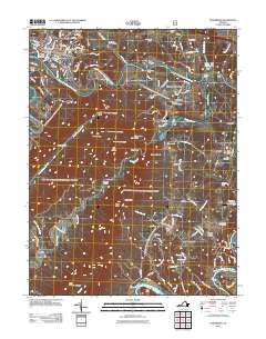
2011 Map of Strasburg
USGS Topo · Published 2011About this map
Strasburg anchors the landscape where the North Fork Shenandoah River winds through the valley floor, creating a complex geography of water and high ridges. The area is defined by the proximity of the river forks and the dramatic elevation of Three Top Mountain, which features prominent overlooks like Signal Knob and Meneka Peak. This era of the landscape shows a mix of deep-rooted industry and community markers, from the legacy of Elizabeth Furnace to the local infrastructure of Wakeman Mill. Genealogists and historians will find significant detail in the numerous burial grounds scattered across the terrain, including River View Cemetery and the rural Bennetts Chapel Cemetery. The transition from the settled town center to the peaks of Fort Valley reveals how the topography shaped local movement, with traditional crossings like Bowmans Ford still indicated along the winding river banks.
Find a feature on this map
93 named features on this map. Tap any name to fly to it.
Don’t see what you’re looking for? This feature index may not catch every label — zoom into the map to look around manually.
Map Details
Editions of this 2011 Strasburg Map
This is the sole edition of this map. No revisions or reprints were ever made.
Other maps of this area

1893 · Luray
USGS Topo · 1:125,000

1894 · Winchester
USGS Topo · 1:125,000

1905 · Luray
USGS Topo · 1:125,000

1923 · Middletown
USGS Topo · 1:62,500

1937 · Middletown
USGS Topo · 1:48,000

1938 · Winchester
USGS Topo · 1:48,000

1939 · Front Royal
USGS Topo · 1:48,000

1942 · Winchester
USGS Topo · 1:62,500

1943 · Middletown
USGS Topo · 1:62,500

1944 · Front Royal
USGS Topo · 1:62,500