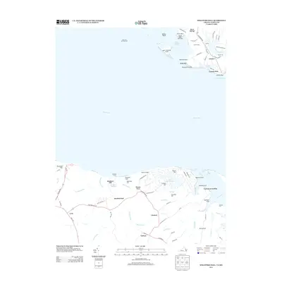
2013 Map of Stratford Hall
USGS Topo · Published 2013About this map
Stratford Hall anchors the Virginia shoreline of the Potomac River, overlooking a landscape defined by significant historic estates and water-dependent commerce. This 2013 survey details the transitional geography between the cliffs of the Northern Neck and the low-lying Maryland shore. On the Virginia side, features like Stratford Mill and the Stratford Millpond sit near the rugged Stratford Cliffs and Horsehead Cliffs. Across the water in Maryland, the map identifies small water-oriented communities such as Coltons Point, Palmers, and River Springs. The maritime character of the era is underscored by the Cobb Point Bar Lighthouse and the presence of numerous inlets like Dukeharts Creek and Saint Patrick Cr. Local history is reflected in many family-named landmarks, from Bettys Neck and Goodrich Farm to the small settlement at Bryant Town.
Find a feature on this map
88 named features on this map. Tap any name to fly to it.
Don’t see what you’re looking for? This feature index may not catch every label — zoom into the map to look around manually.
Map Details
Editions of this 2013 Stratford Hall Map
This is the sole edition of this map. No revisions or reprints were ever made.
Other maps of this area

1892 · Leonardtown
USGS Topo · 1:62,500

1892 · Piney Point
USGS Topo · 1:62,500

1892 · Montross
USGS Topo · 1:62,500

1894 · Wicomico
USGS Topo · 1:62,500

1894 · Piney Point
USGS Topo · 1:62,500

1895 · Wicomico
USGS Topo · 1:62,500

1895 · Leonardtown
USGS Topo · 1:62,500

1895 · Nomini
USGS Topo · 1:125,000

1895 · Piney Point
USGS Topo · 1:62,500

1895 · Montross
USGS Topo · 1:62,500