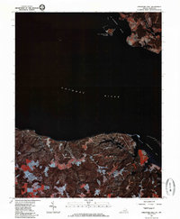
1981 Map of Stratford Hall
USGS Topo · Published 1985About this map
Stratford Hall and the high bluffs of Westmoreland County overlook the broad expanse of the Potomac River in this 1981 orthophoto survey. This aerial perspective, captured by the U.S. Geological Survey and the Virginia Division of Mineral Resources, highlights the stark transition between the wooded Virginia shoreline and the tidal marshes of Maryland. To the northeast, the settlement of Coltons Point sits near the mouth of St Patrick Creek, while St Catherine Island stands isolated within St Catherine Sound. The imagery reveals a landscape of agricultural clearings and dense forest carved by coastal drainage features like Cold Harbor Creek, which feeds into the sheltered waters of Currioman Bay. This specialized photographic map provides a clear view of the tidewater geography at the start of the 1980s.
Find a feature on this map
8 named features on this map. Tap any name to fly to it.
Don’t see what you’re looking for? This feature index may not catch every label — zoom into the map to look around manually.
Map Details
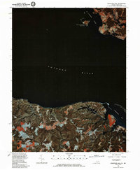
Editions of this 1981 Stratford Hall Map
2 editions found
Other maps of this area

1892 · Leonardtown
USGS Topo · 1:62,500

1892 · Piney Point
USGS Topo · 1:62,500

1892 · Montross
USGS Topo · 1:62,500

1894 · Wicomico
USGS Topo · 1:62,500

1894 · Piney Point
USGS Topo · 1:62,500

1895 · Wicomico
USGS Topo · 1:62,500

1895 · Leonardtown
USGS Topo · 1:62,500

1895 · Nomini
USGS Topo · 1:125,000

1895 · Piney Point
USGS Topo · 1:62,500

1895 · Montross
USGS Topo · 1:62,500