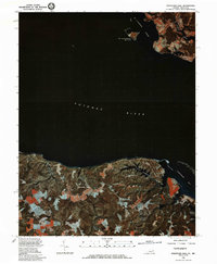
1981 Map of Stratford Hall
USGS Topo · Published 1986About this map
Stratford Hall stands as the primary landmark on this 1980s orthophotograph, centered on the Virginia side of the Potomac River. Unlike traditional line maps, this color infrared imagery provides a clear view of the land-use patterns along the Potomac shoreline and the tidal marshes of Currioman Bay. The contrast between the wooded bluffs and the geometric patchwork of agricultural fields illustrates the enduring rural character of Westmoreland County. On the Maryland shore to the north, the small community at Coltons Point and the winding course of St Patrick Creek offer a look at the river's northern boundary. The imagery also documents the intricate network of tidal inlets, including Cold Harbor Creek and the sheltered waters behind St Catherine Island, which are essential features for understanding the hydrology and historic navigation of the lower Potomac.
Find a feature on this map
8 named features on this map. Tap any name to fly to it.
Don’t see what you’re looking for? This feature index may not catch every label — zoom into the map to look around manually.
Map Details
Editions of this 1981 Stratford Hall Map
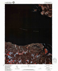
2 editions found
Other maps of this area

1892 · Leonardtown
USGS Topo · 1:62,500

1892 · Piney Point
USGS Topo · 1:62,500

1892 · Montross
USGS Topo · 1:62,500

1894 · Wicomico
USGS Topo · 1:62,500

1894 · Piney Point
USGS Topo · 1:62,500

1895 · Wicomico
USGS Topo · 1:62,500

1895 · Leonardtown
USGS Topo · 1:62,500

1895 · Nomini
USGS Topo · 1:125,000

1895 · Piney Point
USGS Topo · 1:62,500

1895 · Montross
USGS Topo · 1:62,500